
COMMUNITY PROJECTS
Dan’s Tree Table
The Table of Native Wisconsin Trees is intended to be a guide for selecting native trees to add to a landscape. It is just one way to look at trees and their niche in a native plant community. The table organizes trees by species, hydric preferences, taxonomy (by family, order, genus and species) and provides an organization along with some useful references for prevalence and types of communities. The table does not document many aspects that also should be a consideration in tree selection including: size, affiliated species, phenology, soil preferences, and others.
Each of the more common species of native tree in Wisconsin is found in a cell.
The cells are grouped into three main clades: Rosids (pink), Asterids (yellow) and Pinopsids (green). A clade, also known as a monophyletic group or natural group, is a group of organisms that have a common ancestor. The clades are used to divide the trees into broad categories.
The cells are further organized by order and family roughly in columns within the clades and range from wetland species at the top (blueish tint) to upland species at the bottom (tan tint).
Within each cell, the Order and Family are on the top row. The Genus and Species are found on the second line. The common name is found on the third line. The fourth line contains some coded information: Wetland Indicators, floristic quality C-value, the modal plant community (where it is in greatest abundance for that particular species) and the number of plant communities in which the species is found.
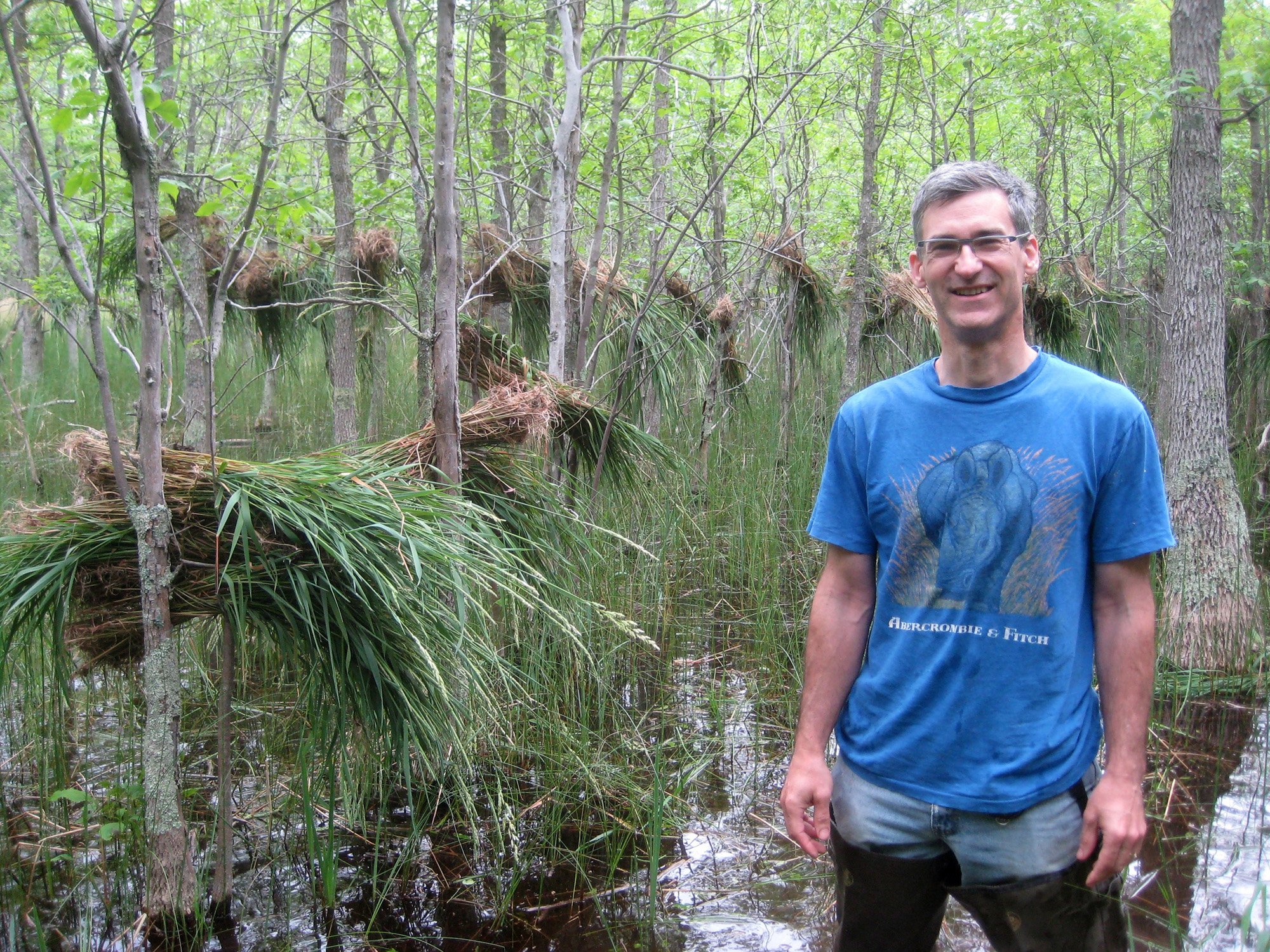
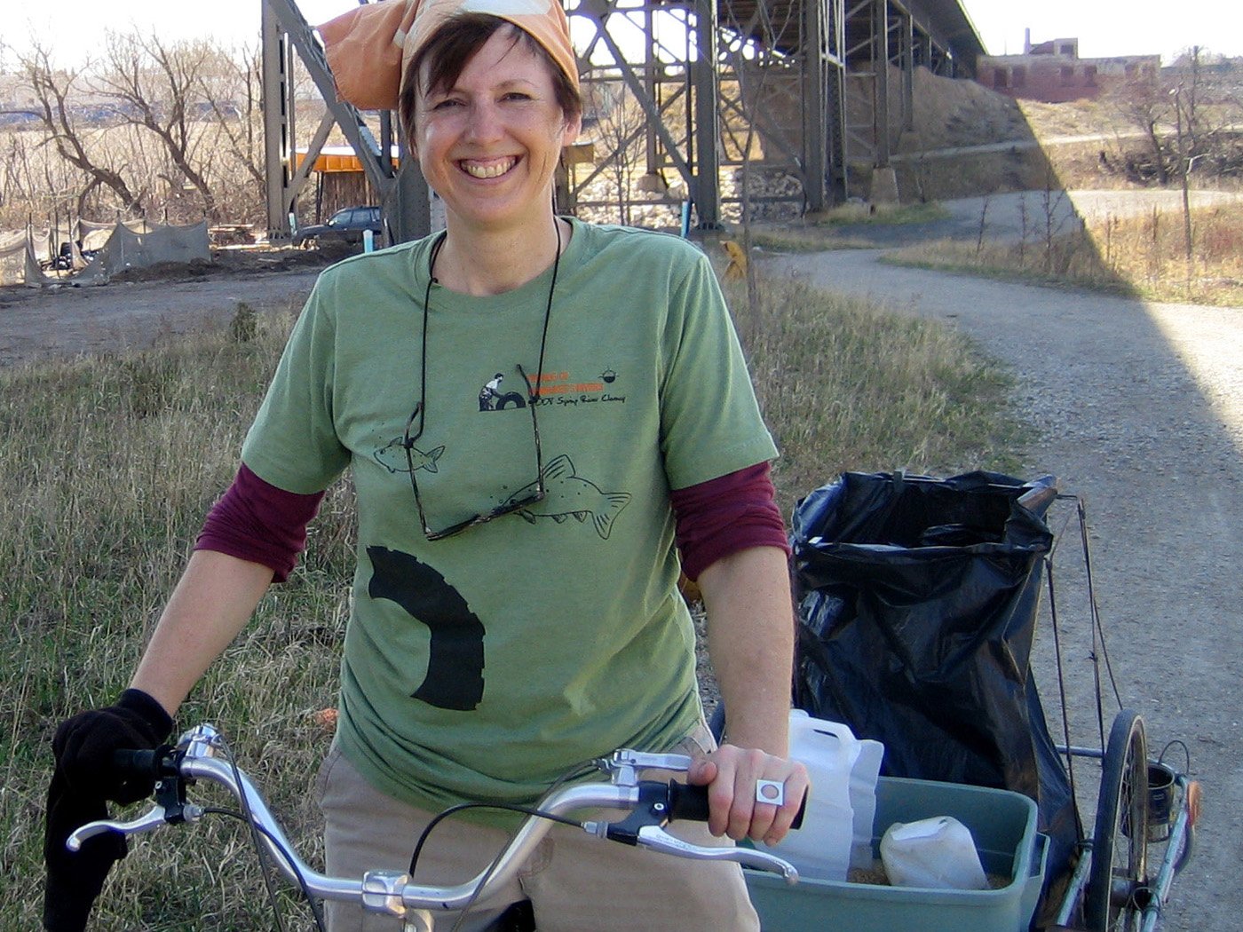
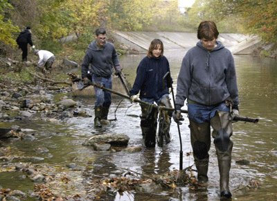
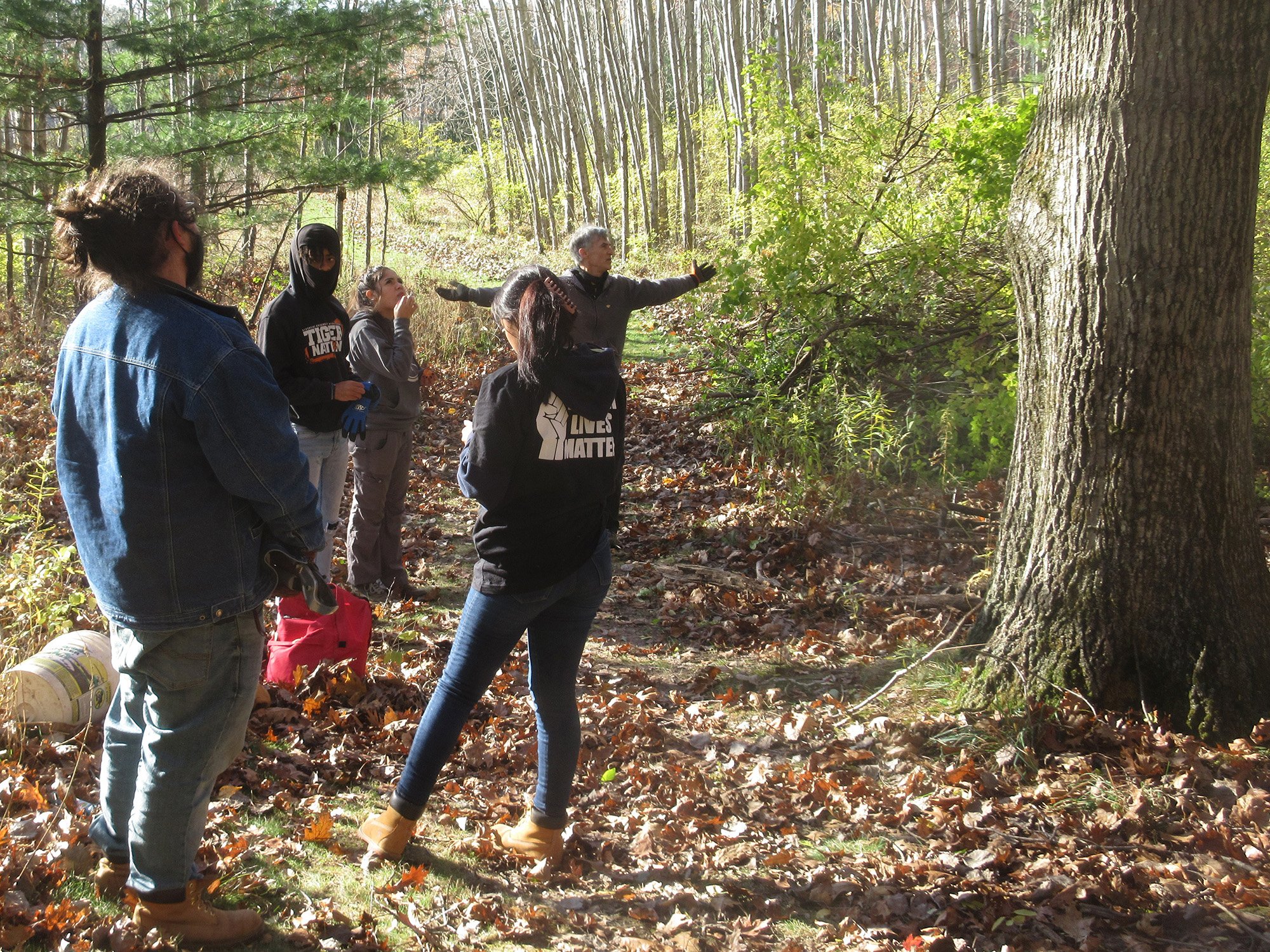
A Little Help Trail-Building
We helped during trail-building workdays with Nearby Nature and The Nature Conservancy. TNC included the project in this piece about their work in Milwaukee.
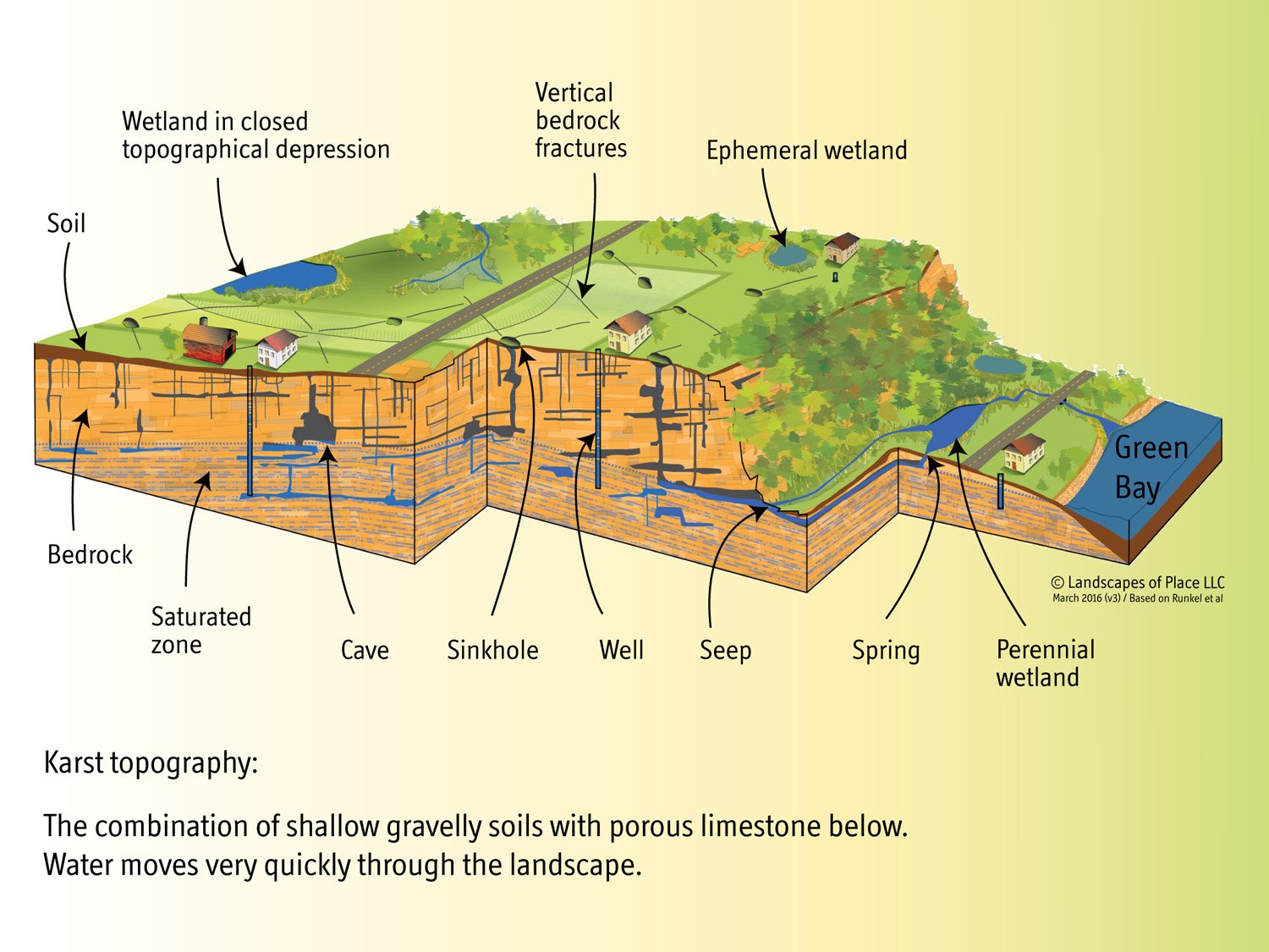
Wetlands Illustrations
Illustrations created for Wisconsin Wetlands Association.
Karst illustration for My Healthy Wetland, a handbook for wetland landowners.
Modern/Historical Conditions and wetland context for Model Wetland Conservation Ordinance: A Policy Development Tool for Wisconsin Counties, Cities, Villages, Towns, and Tribes.

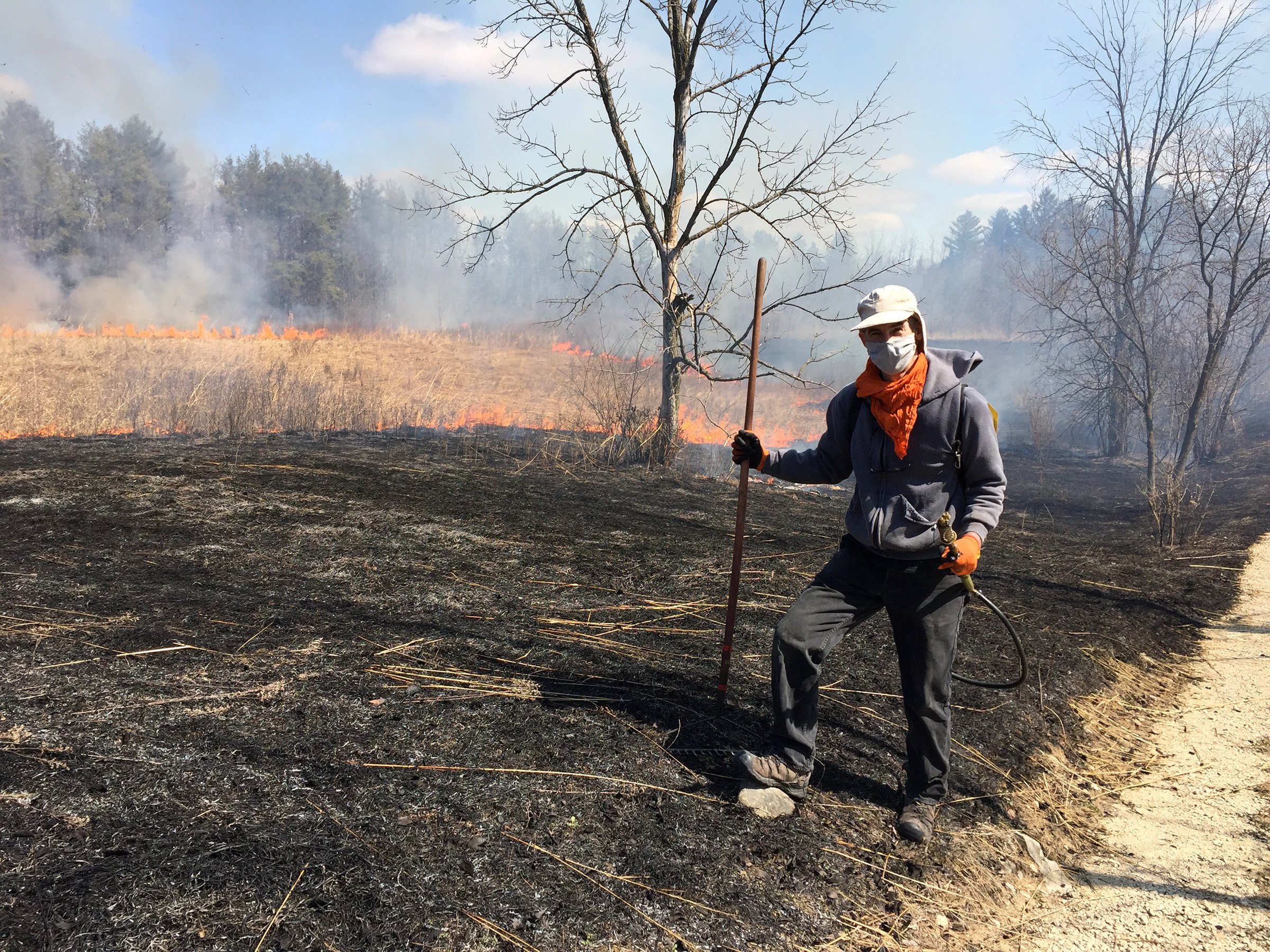
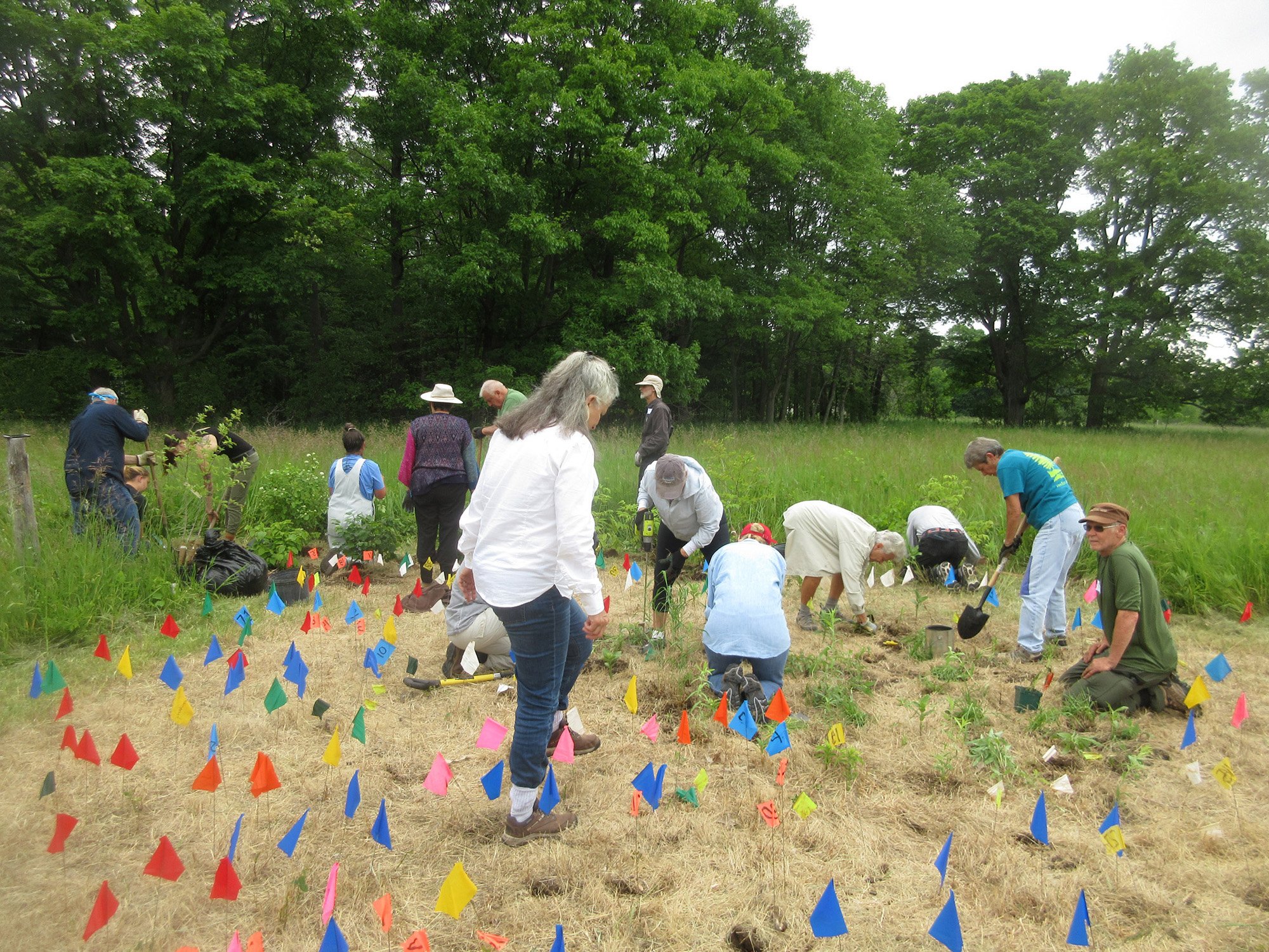
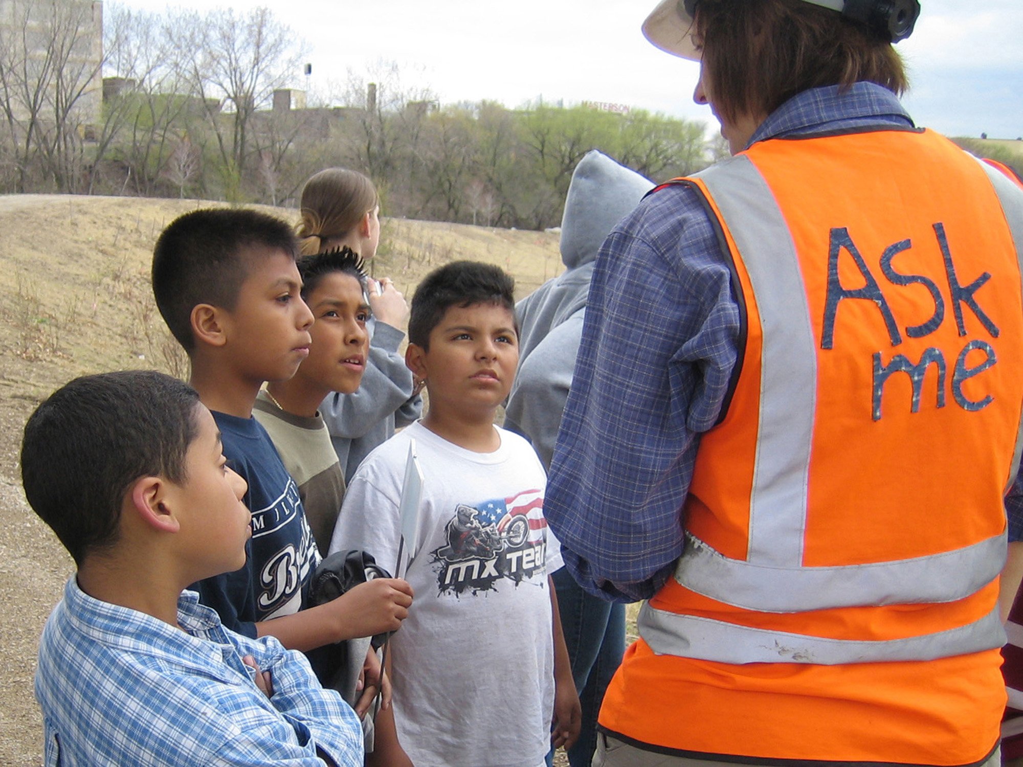
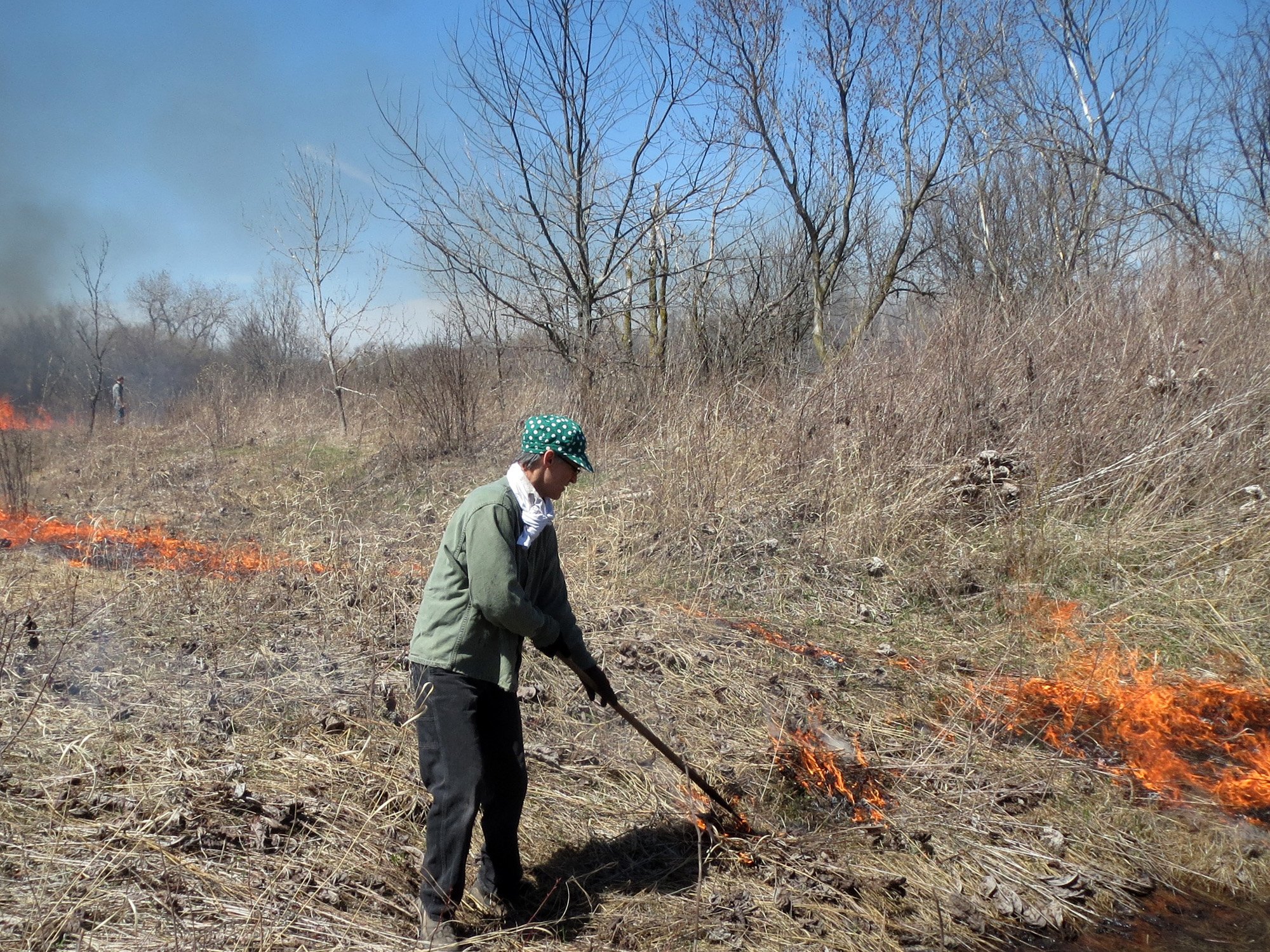
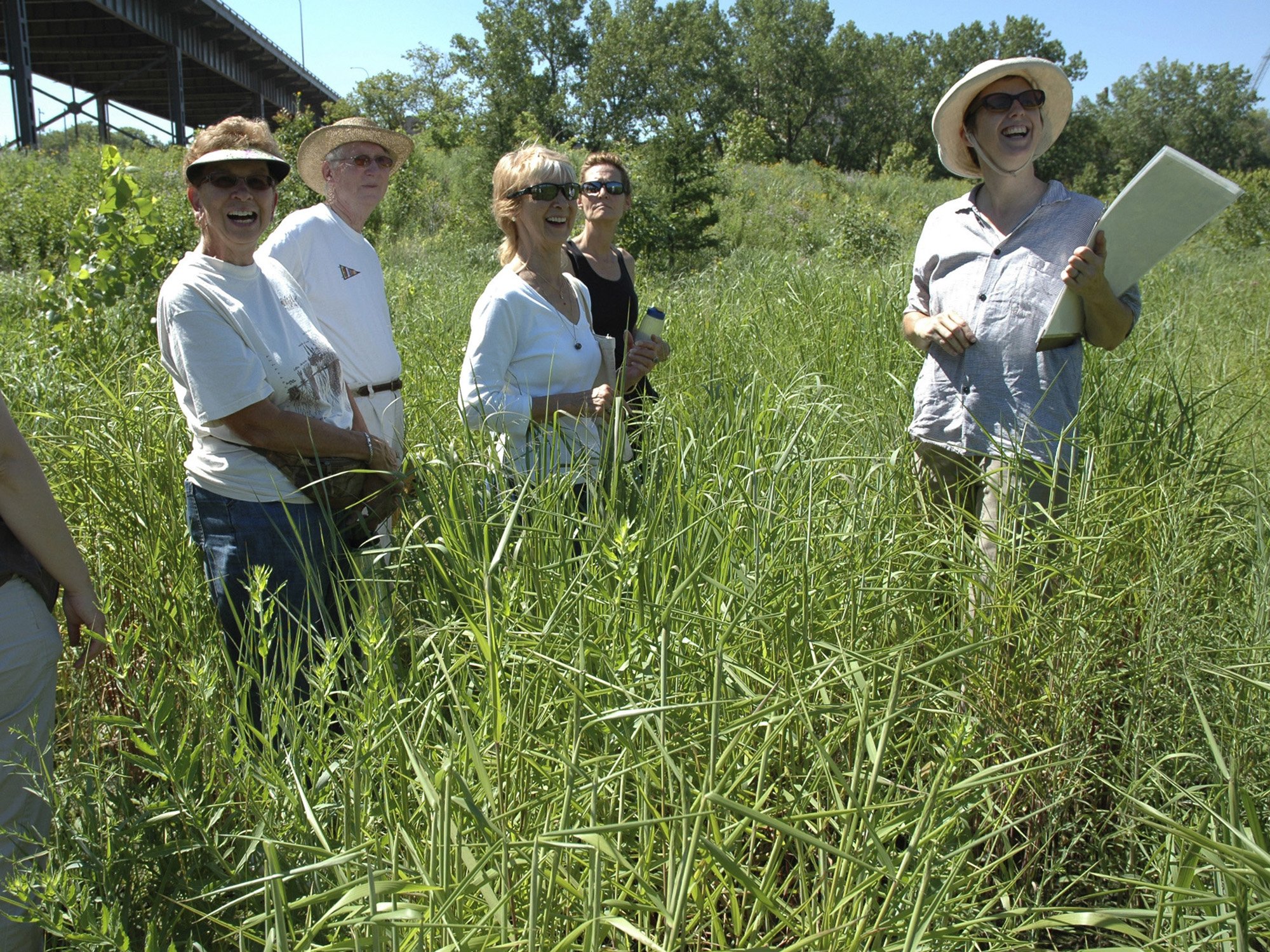
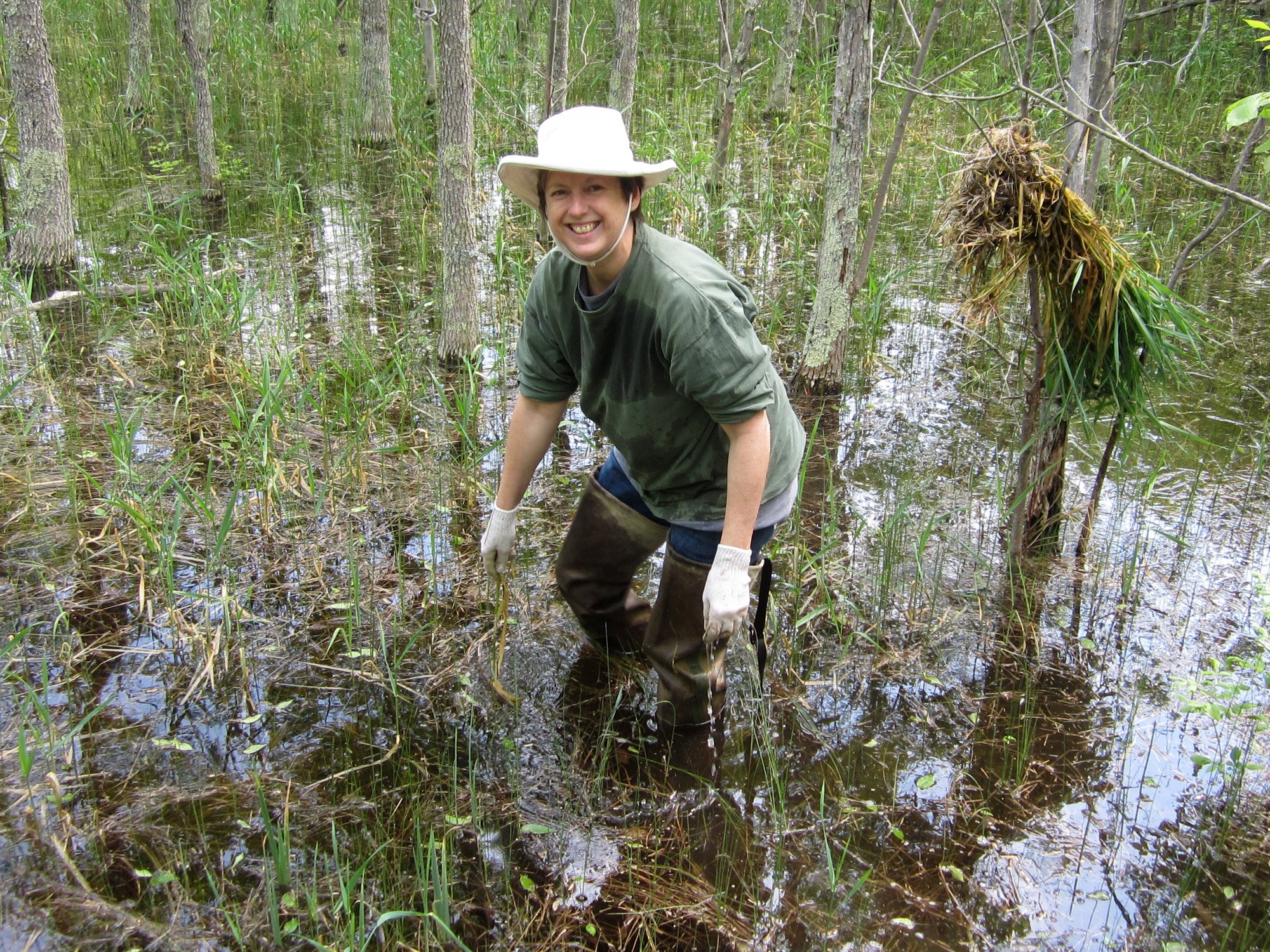
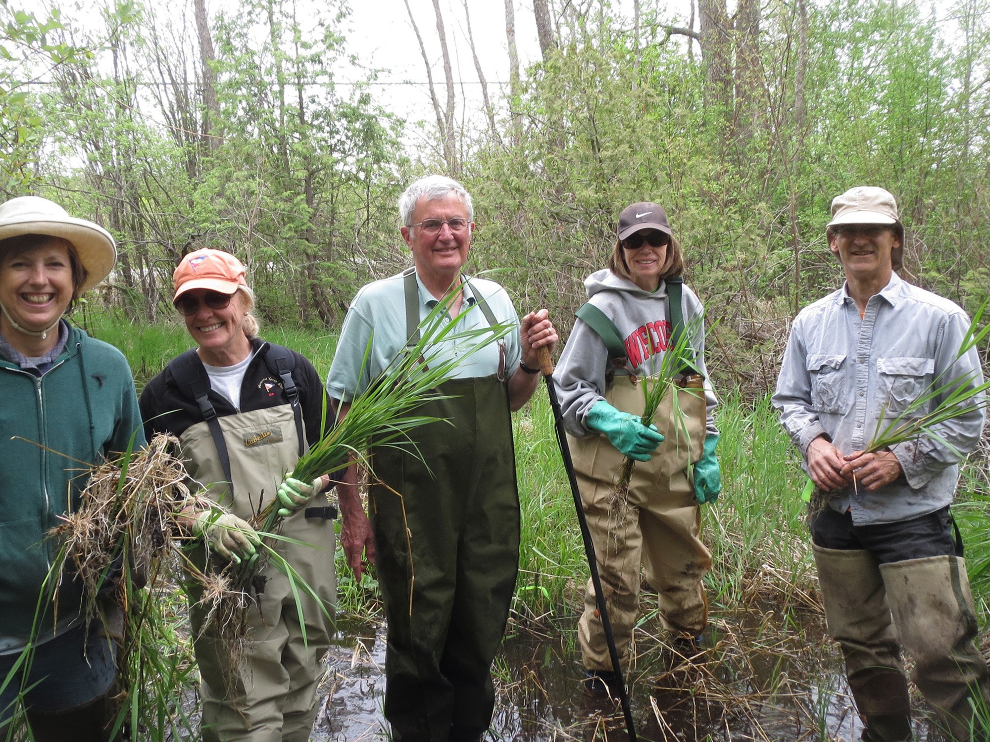
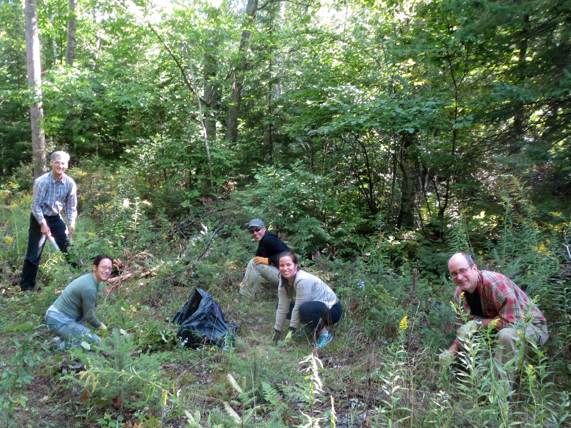
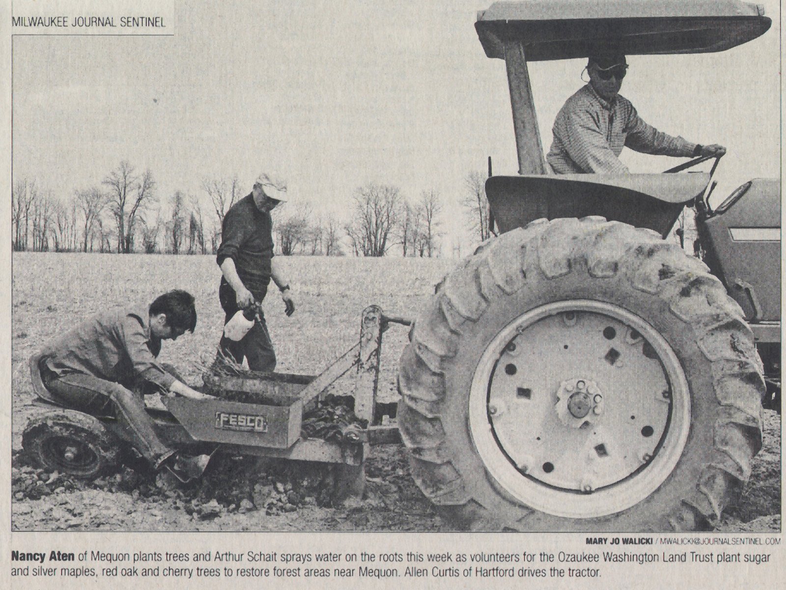
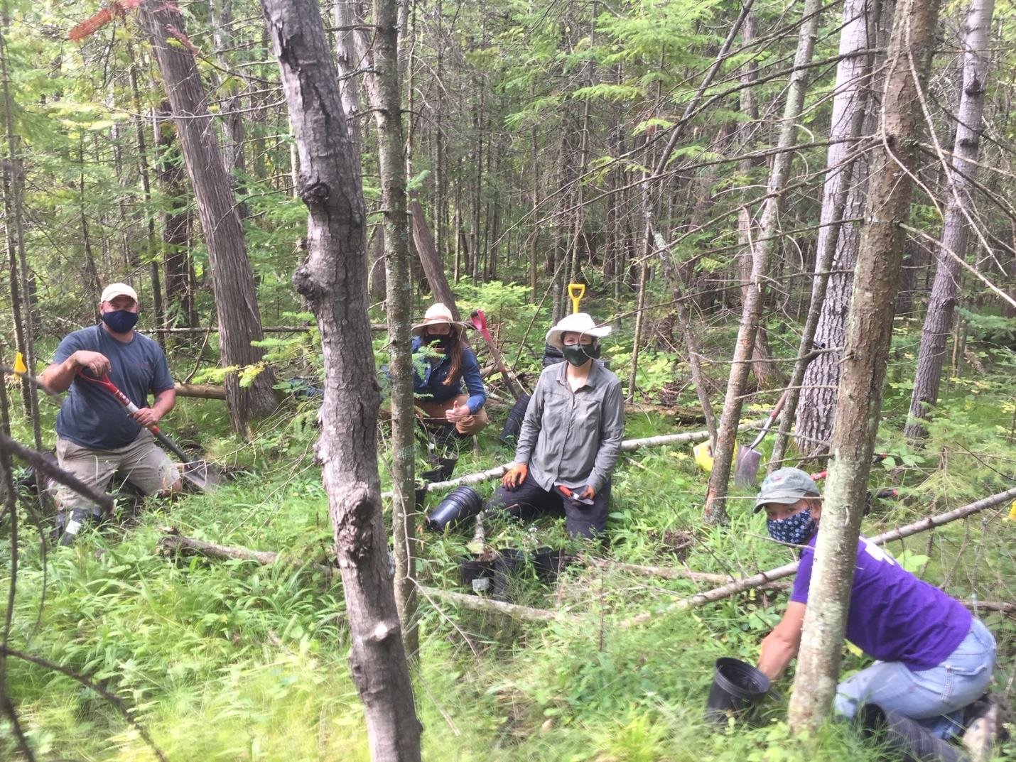
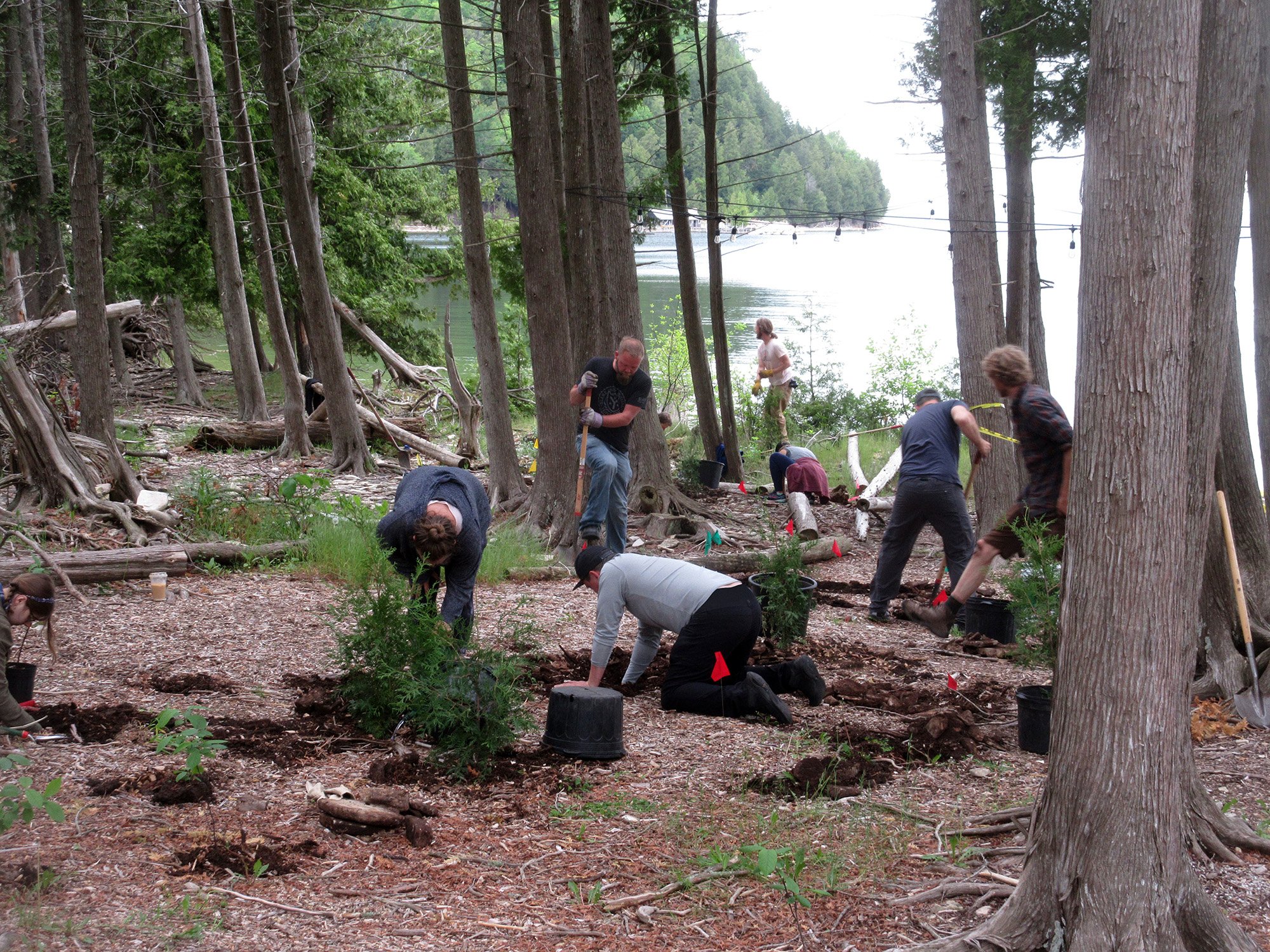
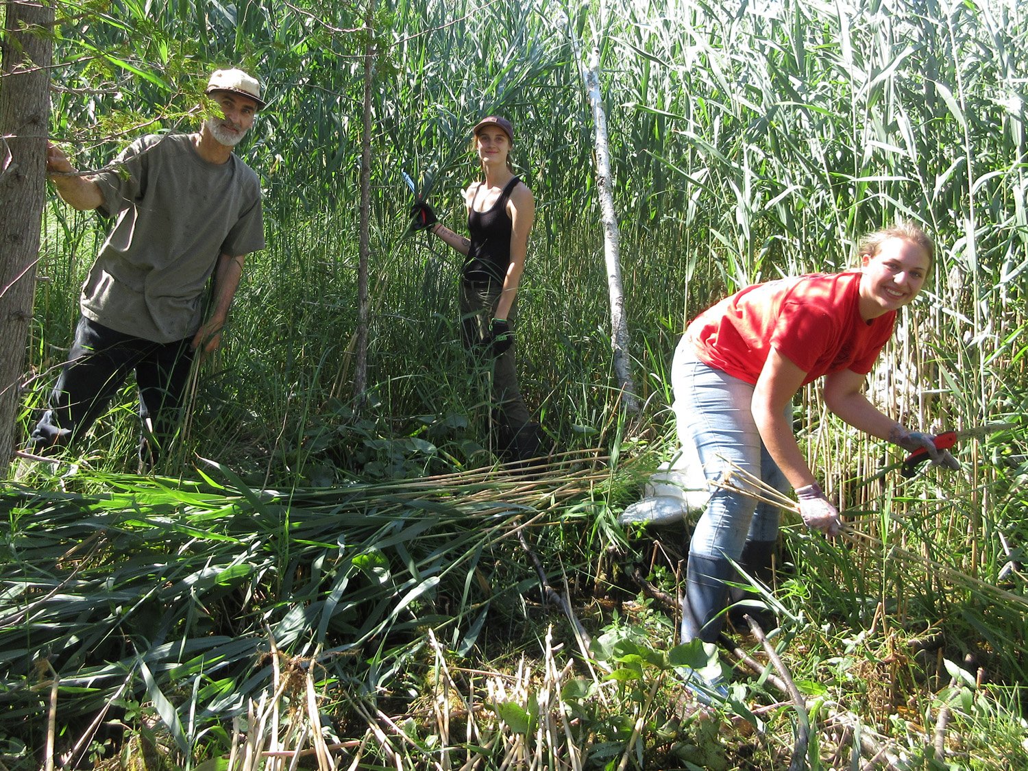
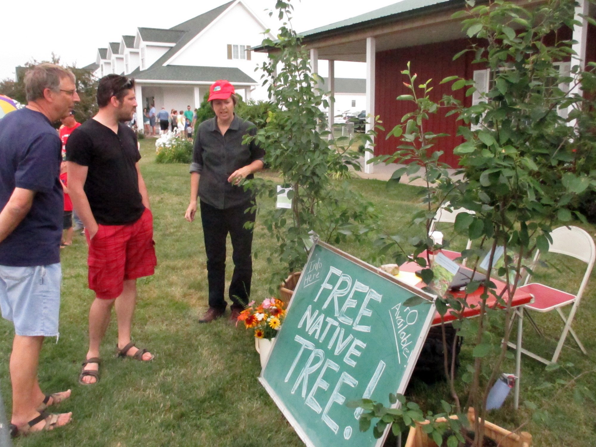
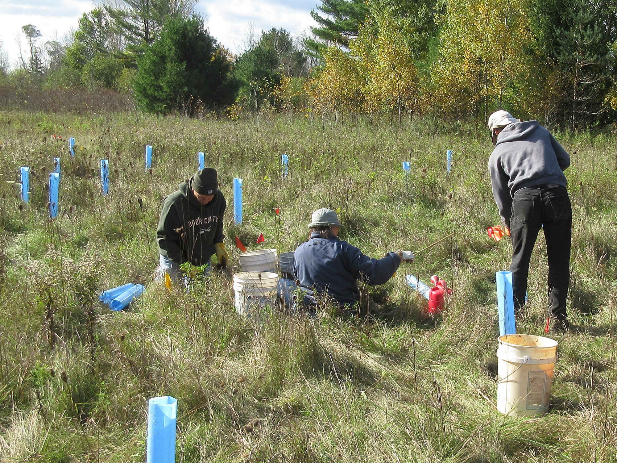
Land Stewardship
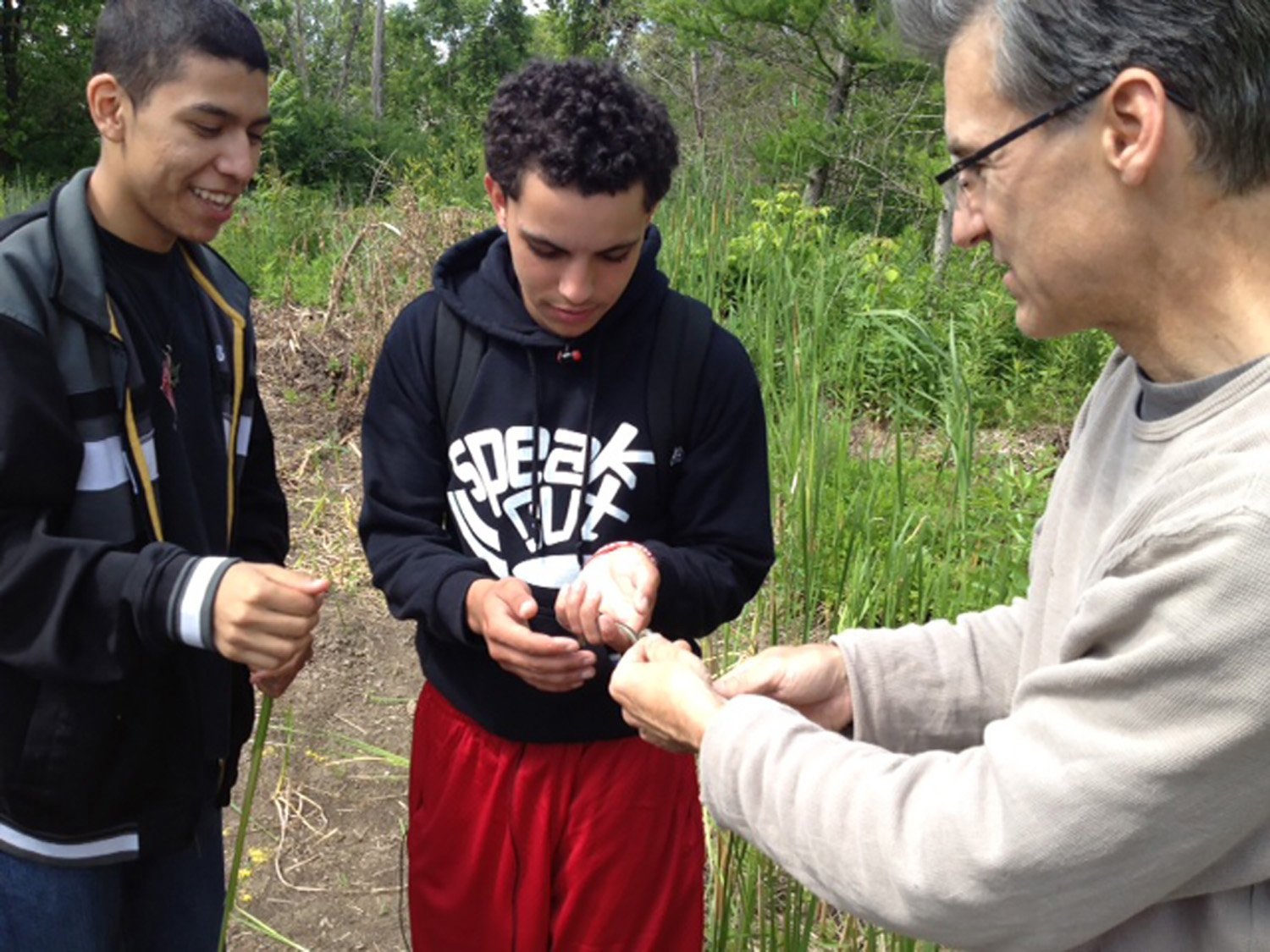
A strong land ethic motivates all of our stewardship engagements. As professionals, we perform and supervise ecological restorations using a range of techniques that are appropriate in varied habitats and conditions. As volunteers, we join our communities in cooperative invasive exotic control work, native species replanting, river cleanups, and leading other volunteers in this work. Our practice also creates stewardship opportunities for non-profits through the development and management of grants. This effort is extended into the field where we work to creatively teach others the whys and hows of restoration work and effective monitoring, and reading the native landscape.


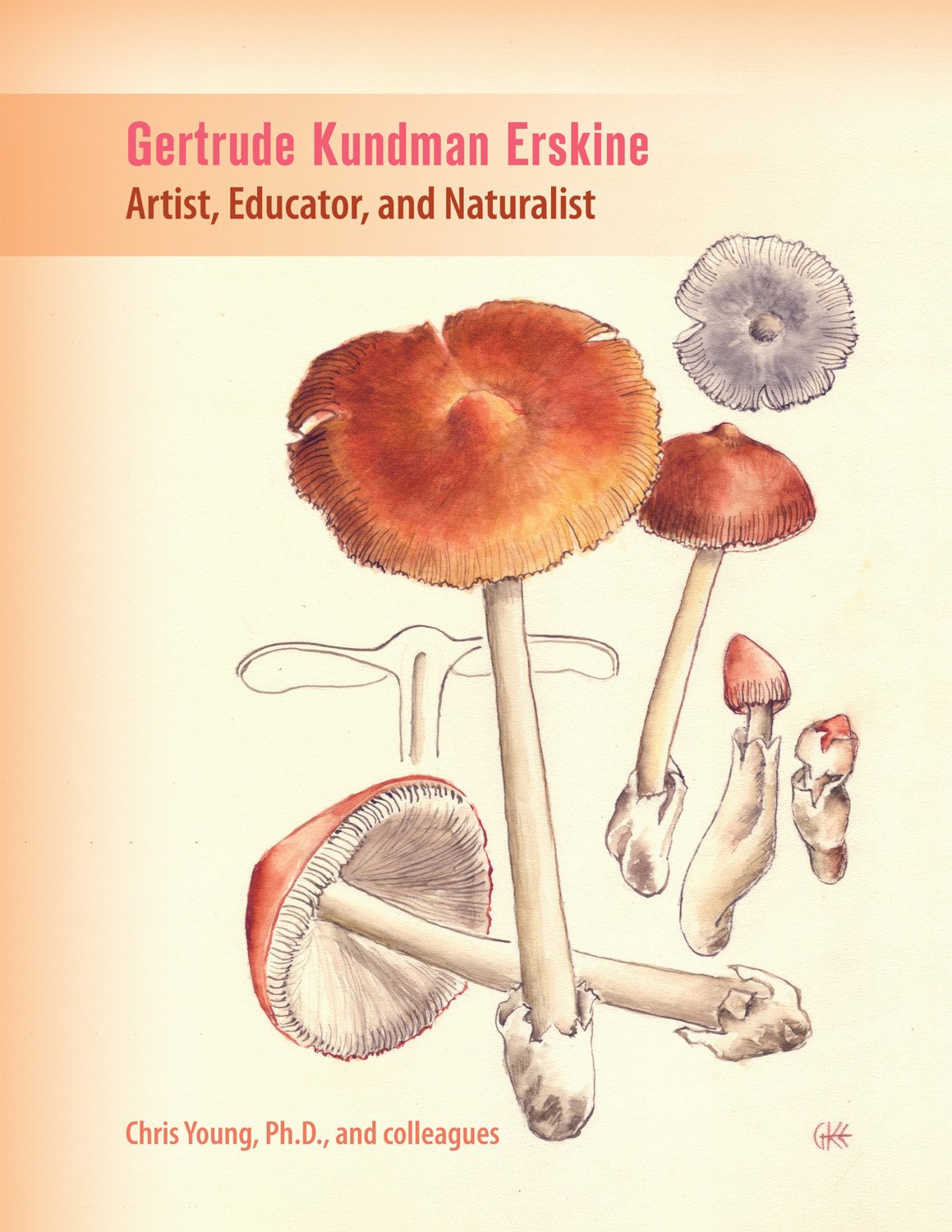
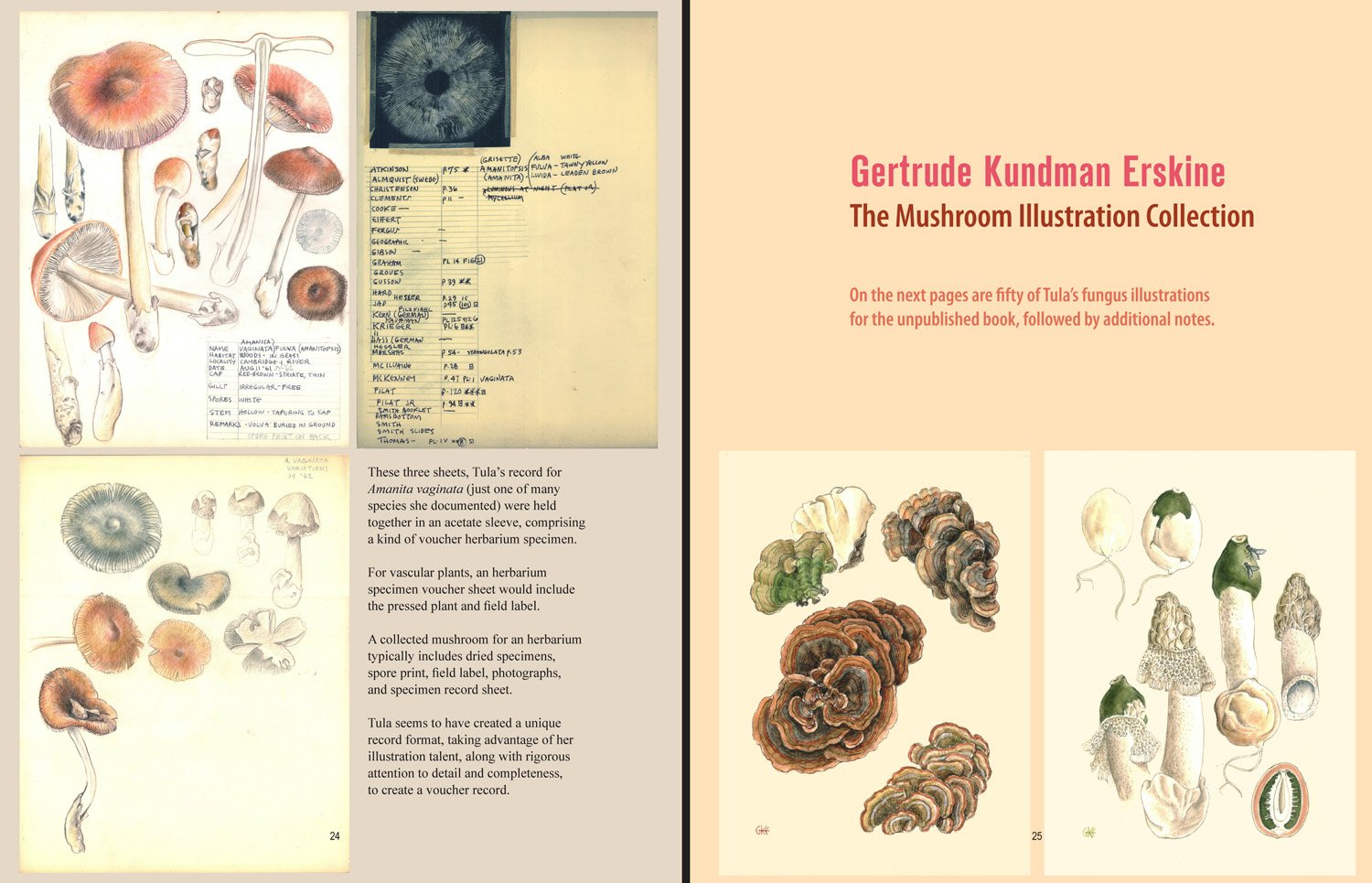
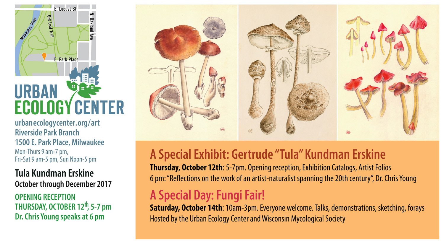
Tula Erskine Exhibit
We created an exhibit of the work of the artist and mycologist Gertrude Kundman Erskine (1907-2000) at the Urban Ecology Center, October-December 2017. 'Tula' was a largely unheralded and talented artist, naturalist, and educator, who lived near the Urban Ecology Center.
The exhibition catalog contains new essays by Dr. Chris Young, "Naturalist art inspires community science", and Elfrieda Abbe, "Isn't that a handsome mushroom! (The life and legacy of Gertrude Kundman Erskine), and also small reproductions of all fifty of Tula's mushroom illustrations meant for a never-published field guide.
Order the exhibition catalog, Gertrude Kundman Erskine: Artist, Educator, and Naturalist.

Darrel Morrison Tribute
Darrel Morrison, FASLA, FCELA, is a renowned landscape architect and educator whose ecology-based approach to design has influenced generations of students and practitioners. His abilities and character as a teacher, designer, and environmental advocate have benefited immeasurable numbers of people. Darrel made major contributions at the University of Wisconsin and the University of Georgia as a teacher, scholar, and administrator. His influence reached far beyond his home institutions, including as a leader of the Council of Educators in Landscape Architecture, and co-founder and co-editor of Landscape Journal, a critical scholarly resource.
Darrel created designs for major public landscapes including the University of Wisconsin-Madison Arboretum, Brooklyn Botanic Garden, Lady Bird Johnson Wildflower Center, Storm King Art Center, New York Botanical Garden, and Western New York Land Conservancy, among other places throughout the country. He has been a long-time instructor at The Clearing in Ellison Bay.
The Library of American Landscape History produced a film about Morrison, Designing in the Prairie Spirit, and have published a book about Morrison’s life and work, titled Beauty of the Wild.
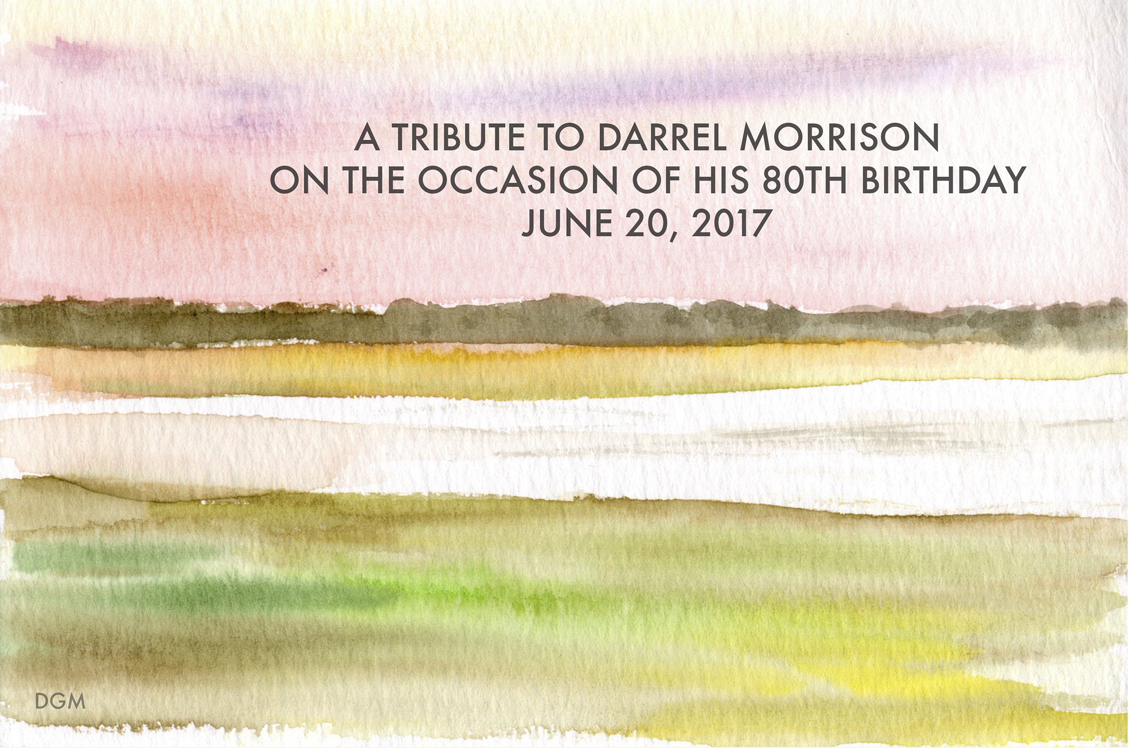
Darrel is Nancy’s mentor, colleague and our good friend. On the occasion of Darrel’s 80th Birthday, his colleagues and friends contributed to this tribute book.
About Sturgeon Bay
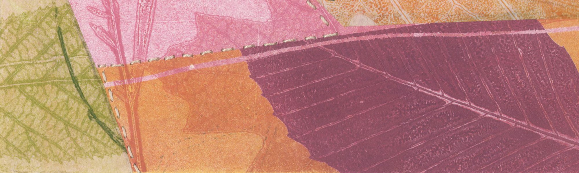
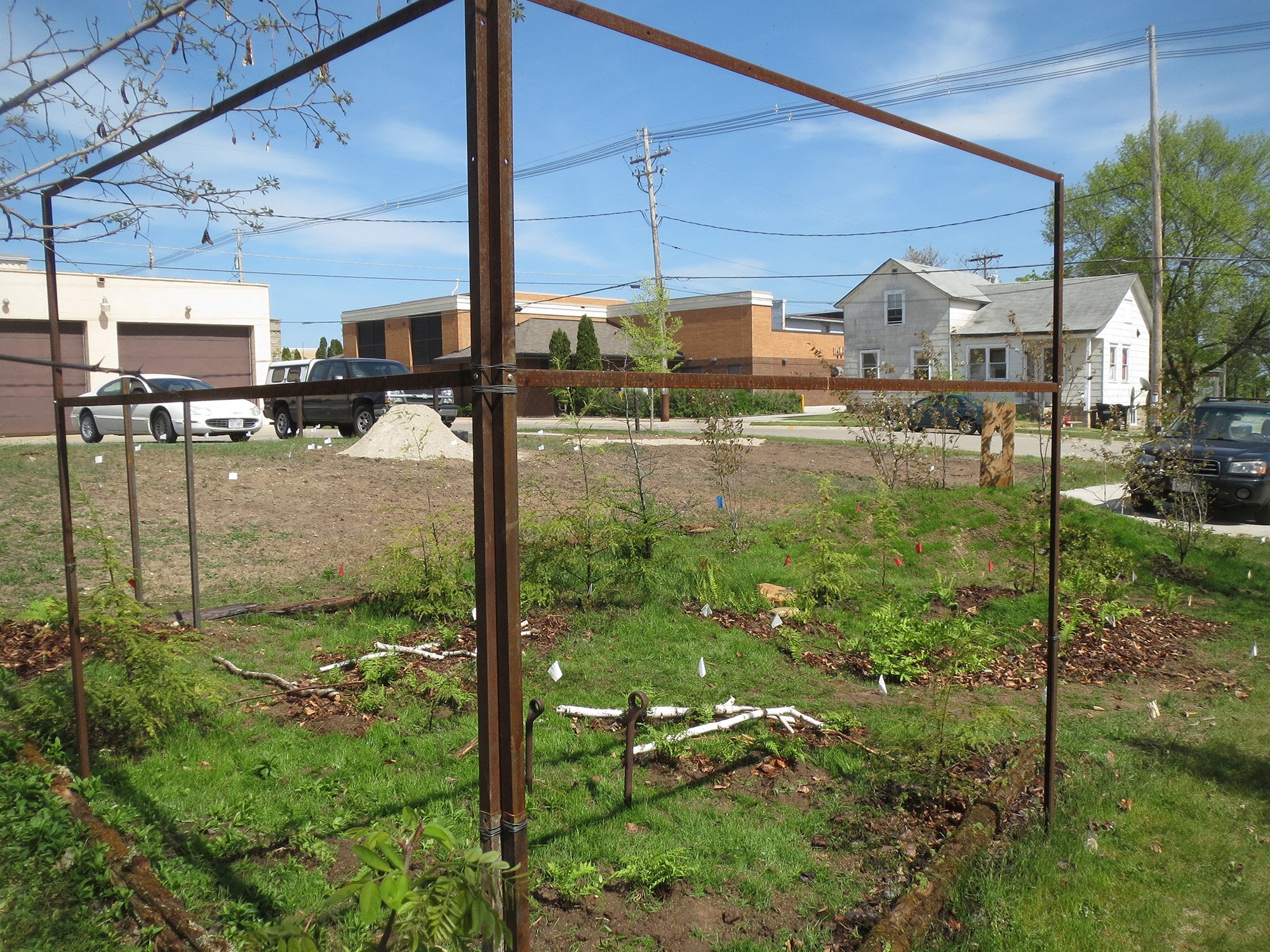
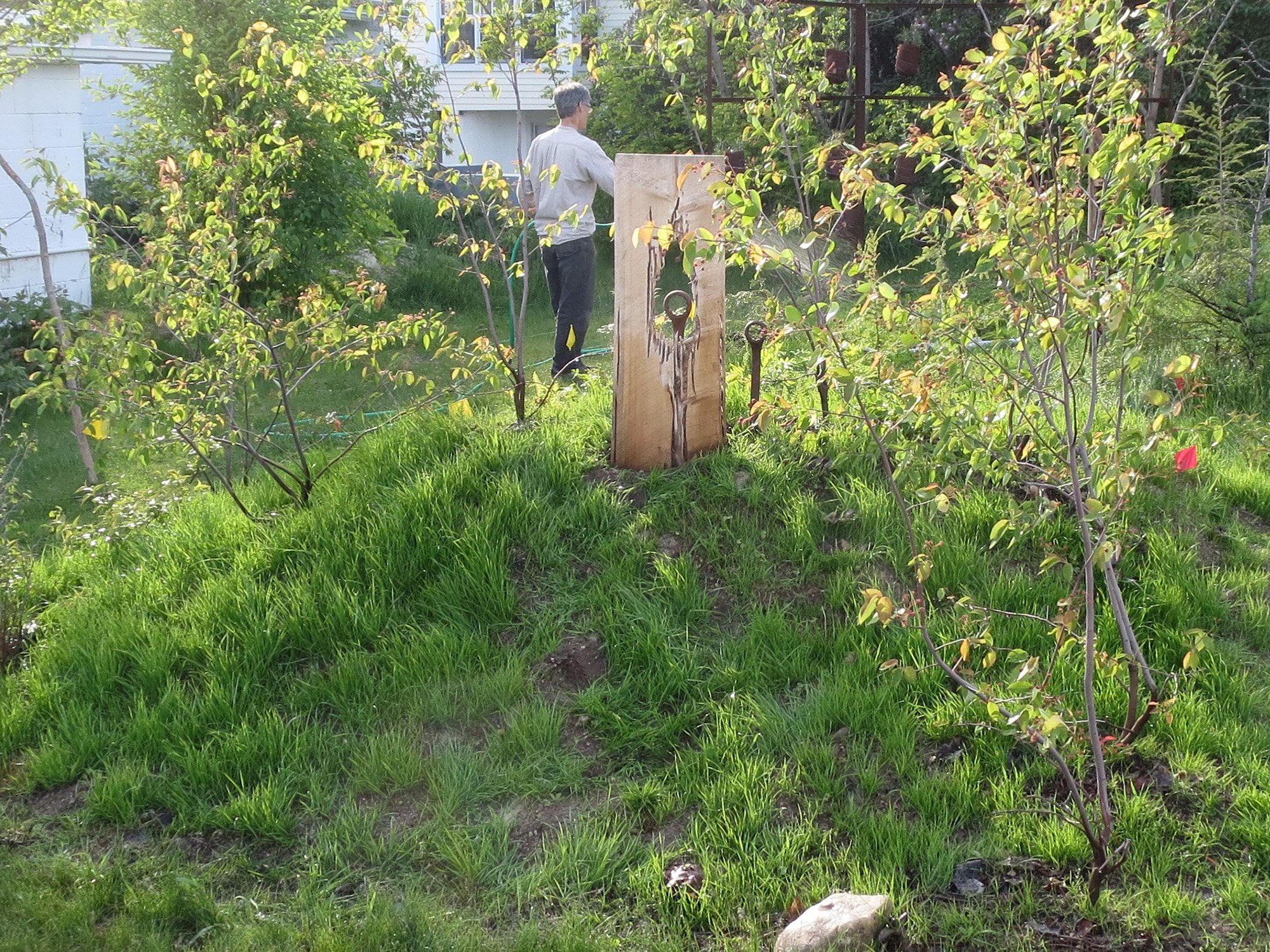
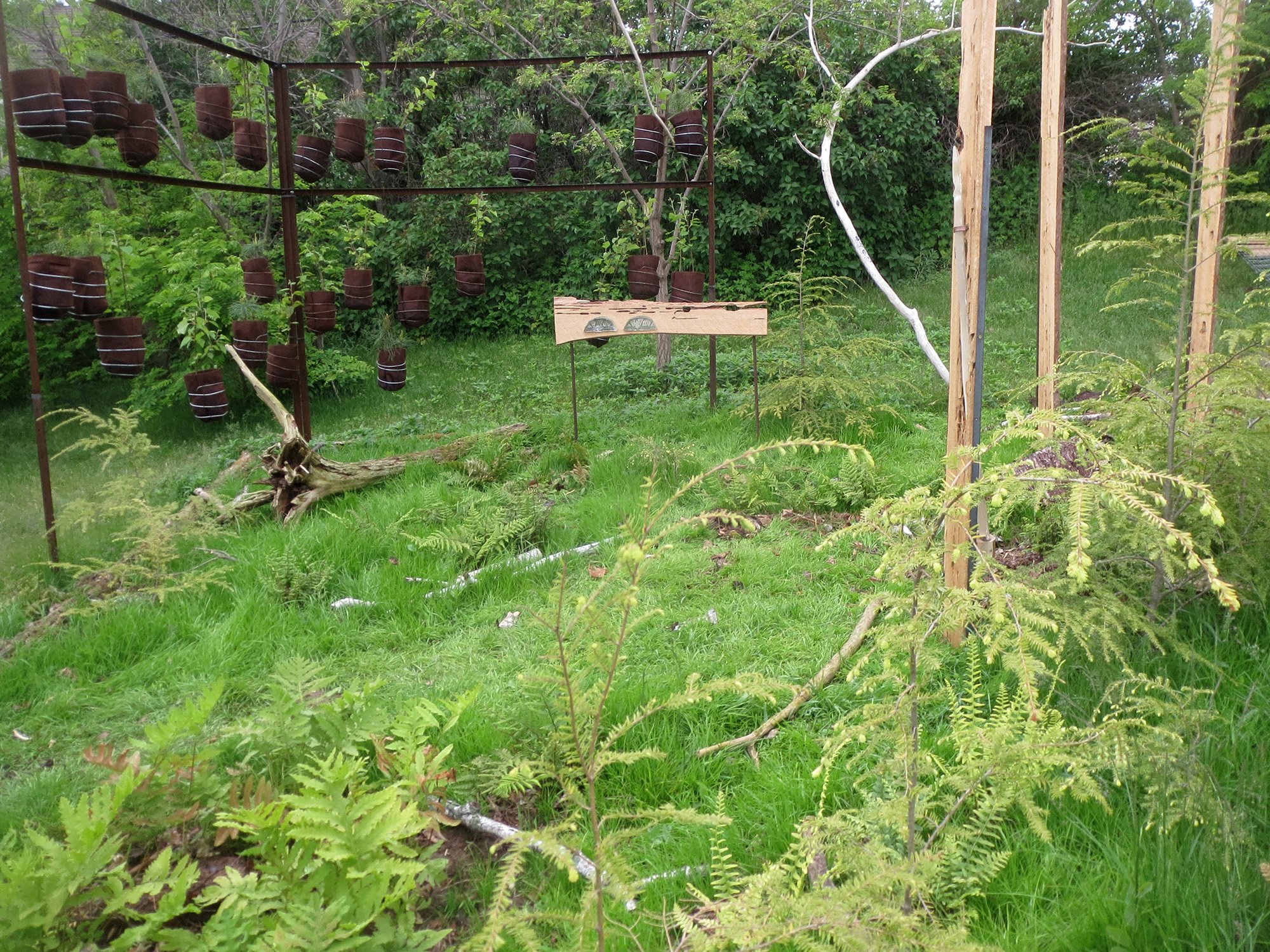
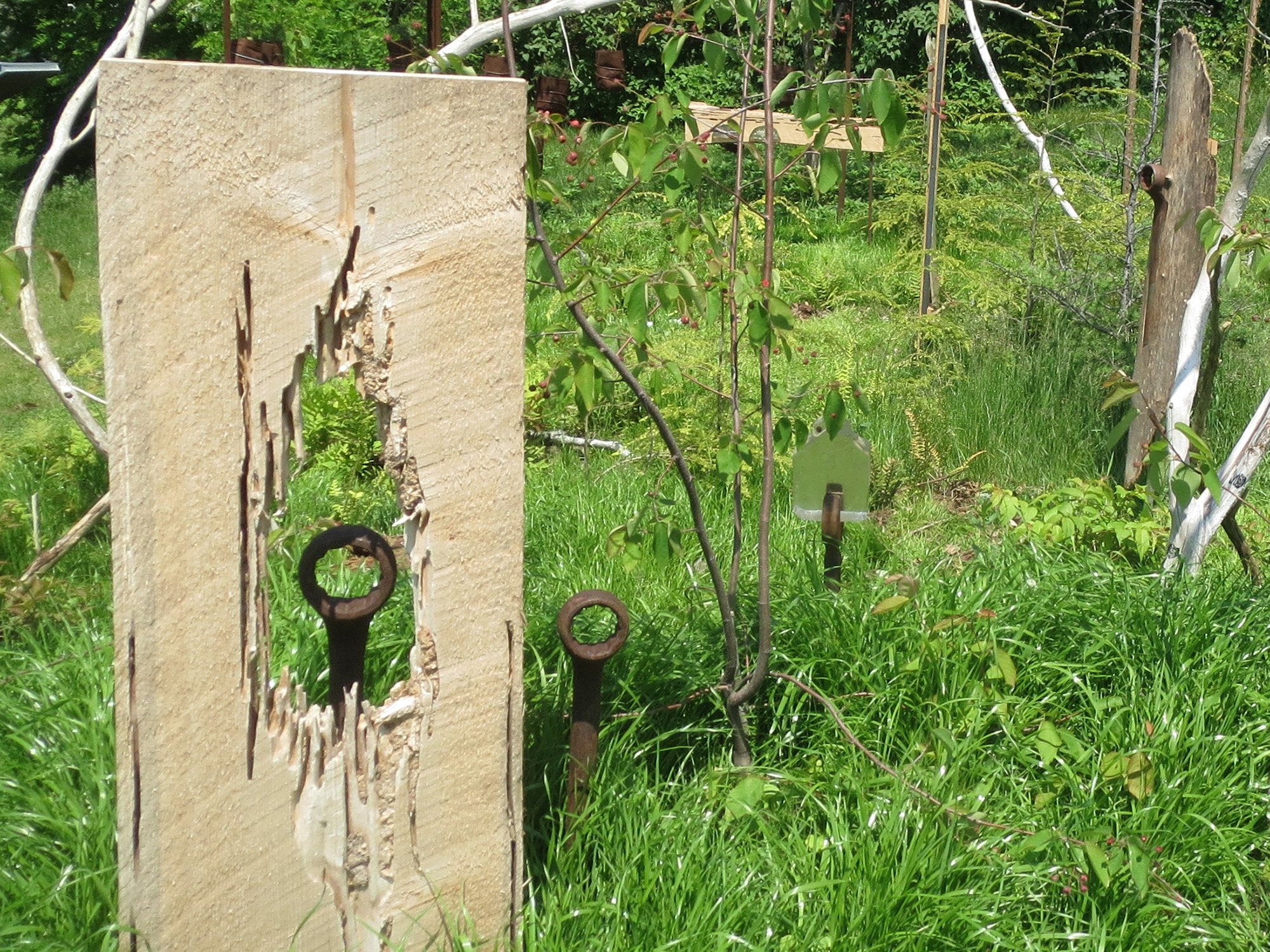
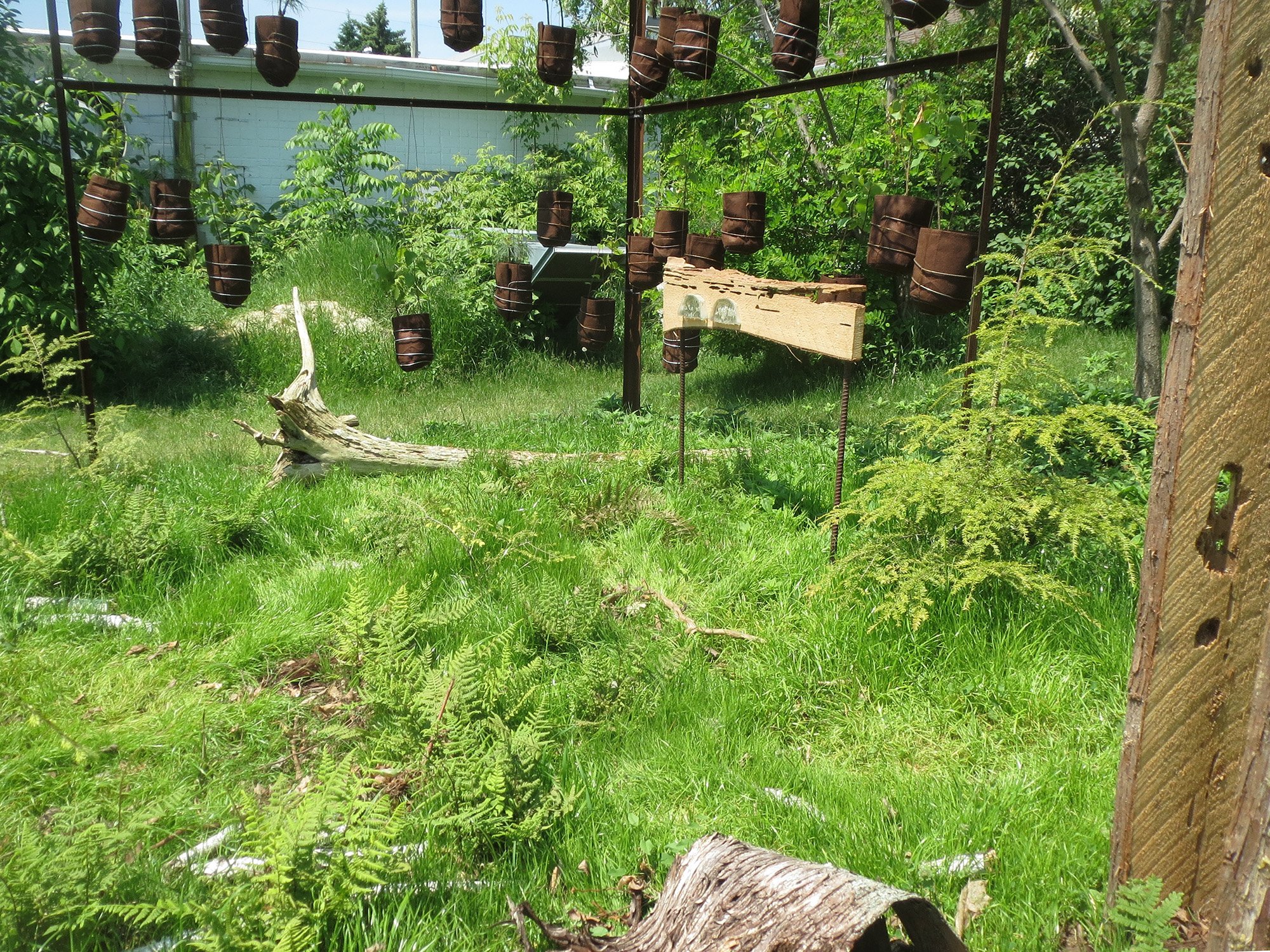
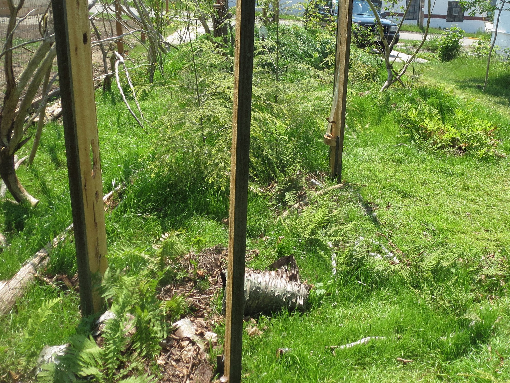
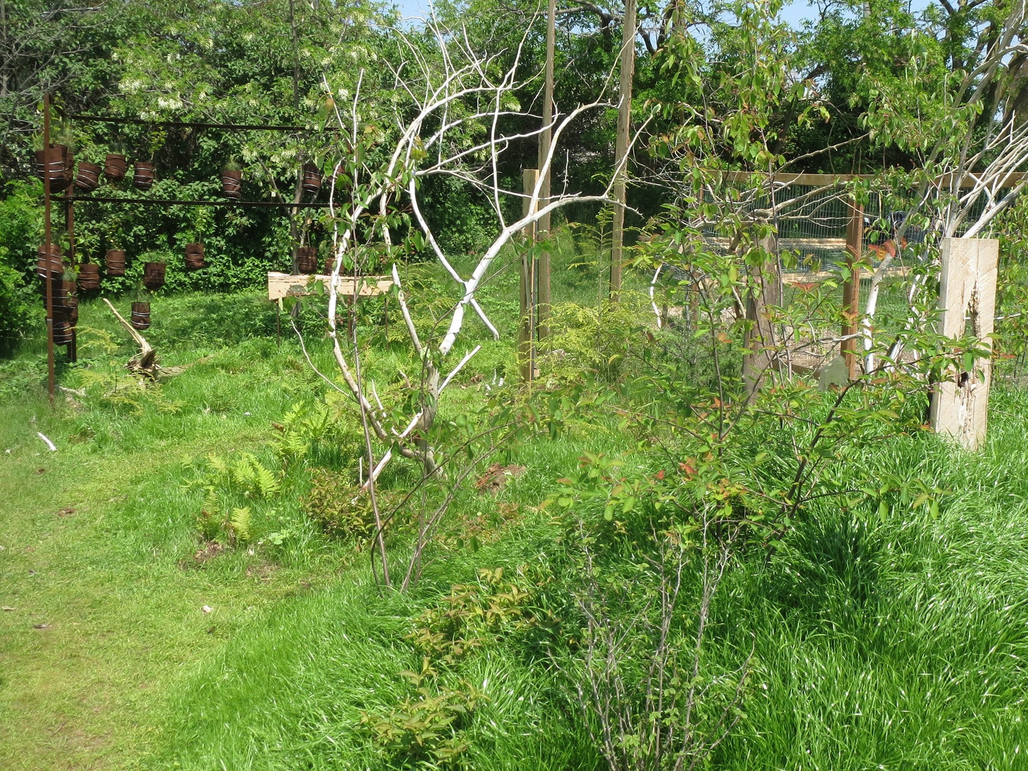
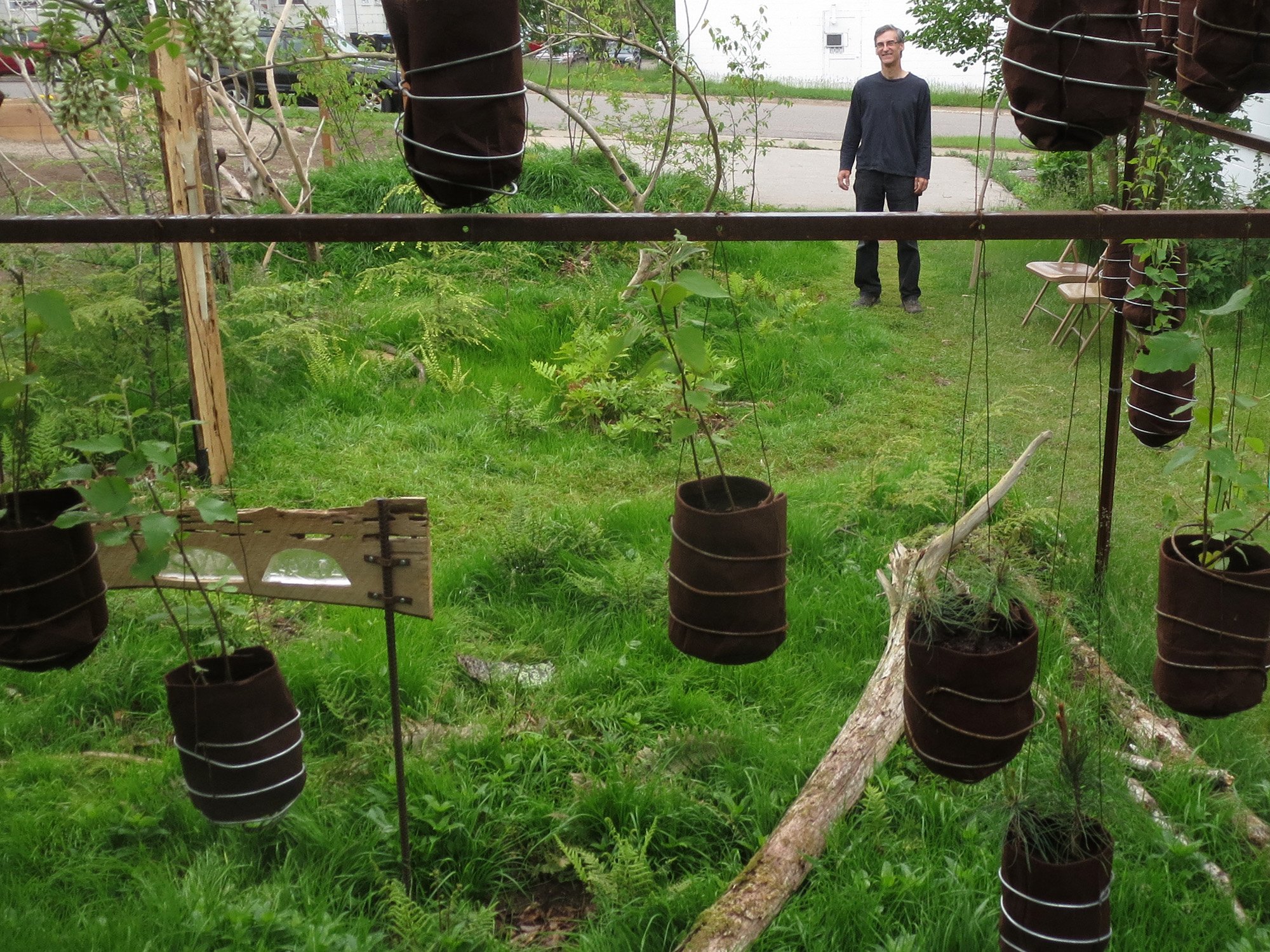
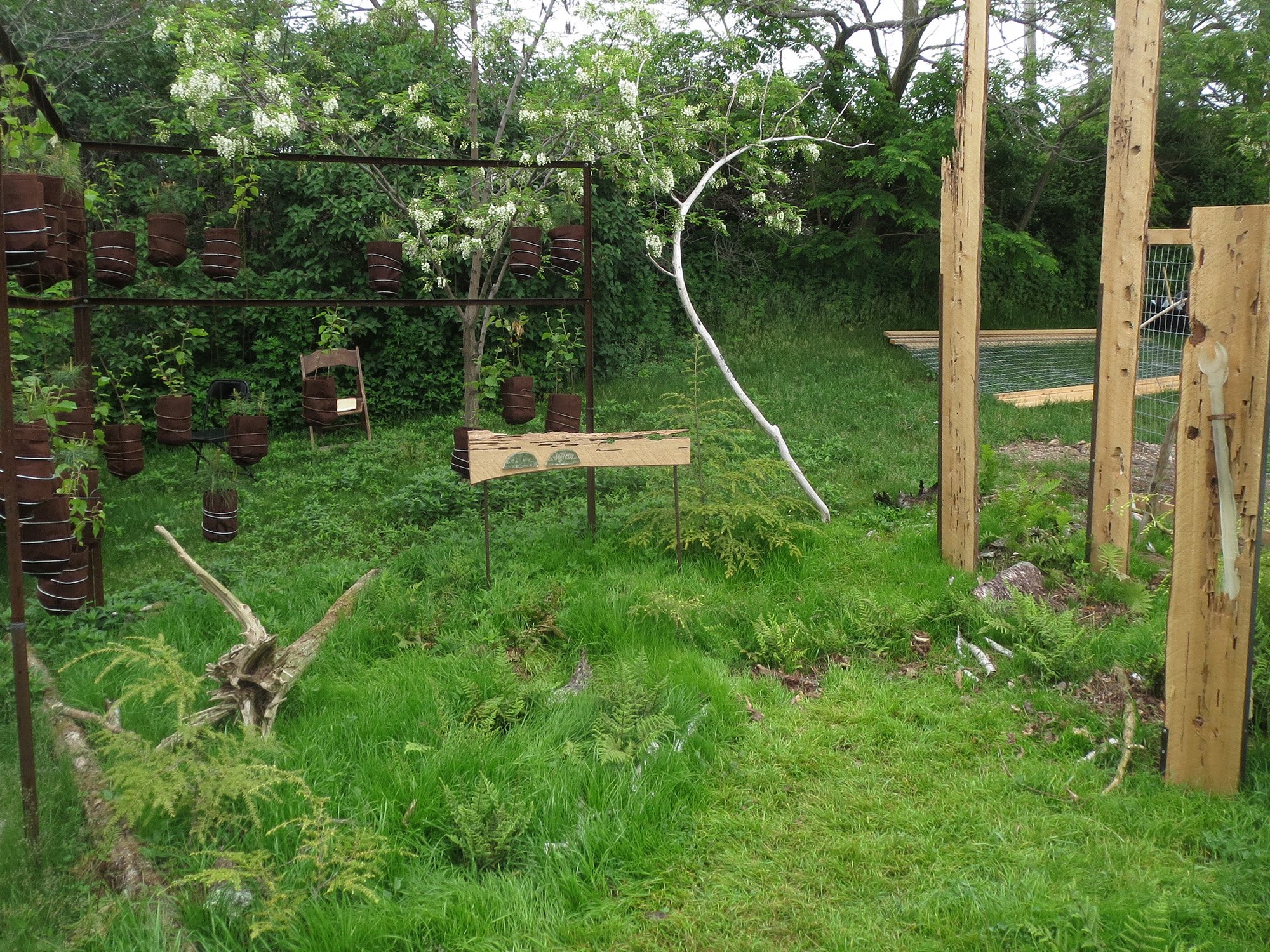
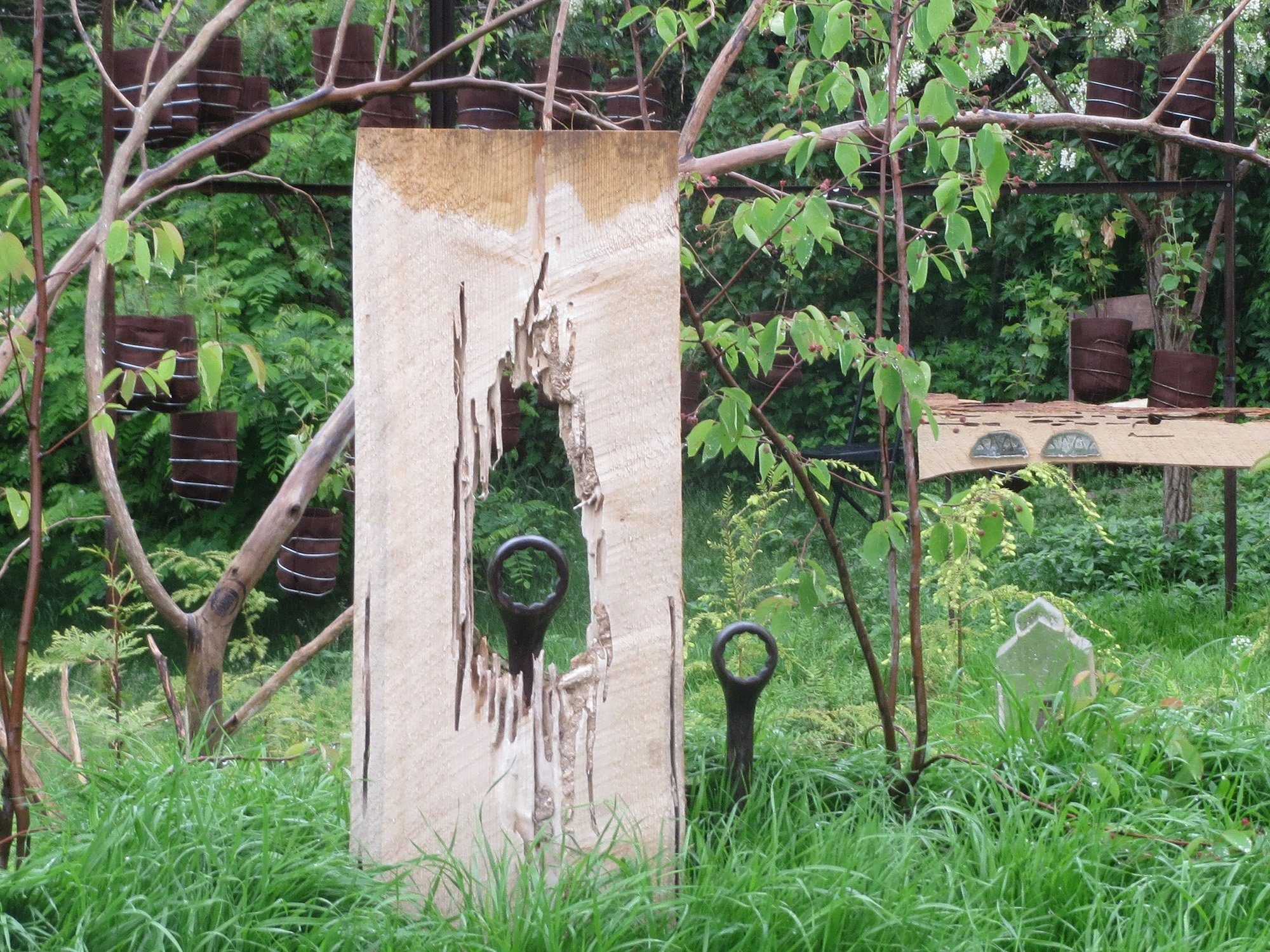
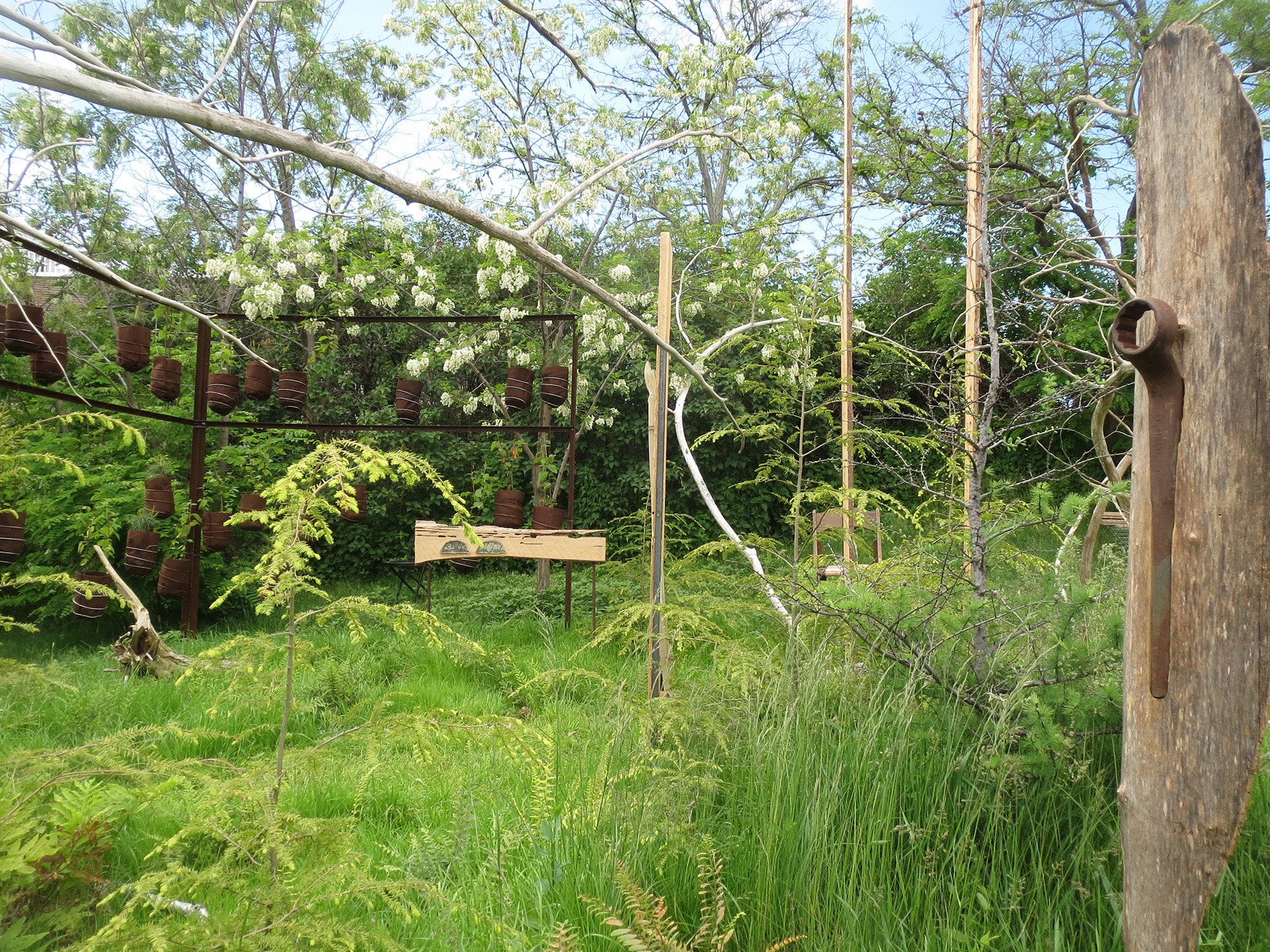
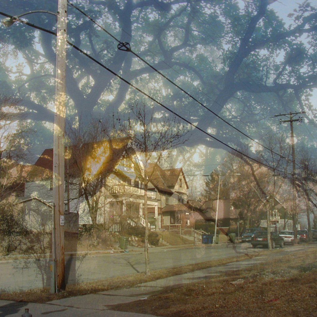
Point of View for About Sturgeon Bay June 5-12, 2016. Landscape installation of found objects, wood, steel, monotype prints, created by Nancy Aten and Dan Collins. "A cache of old boards found at the Habitat ReStore in Sturgeon Bay might be a remnant of a old deck used with gatherings of family and friends; or a remnant of an older cedar forest sheltering trilling birds; or it might be something else. Like so much in Sturgeon Bay, it depends on your point of view. As for point of view... that's your way of seeing something, which is usually affected by what you know or learn about it. So keep sifting and winnowing".
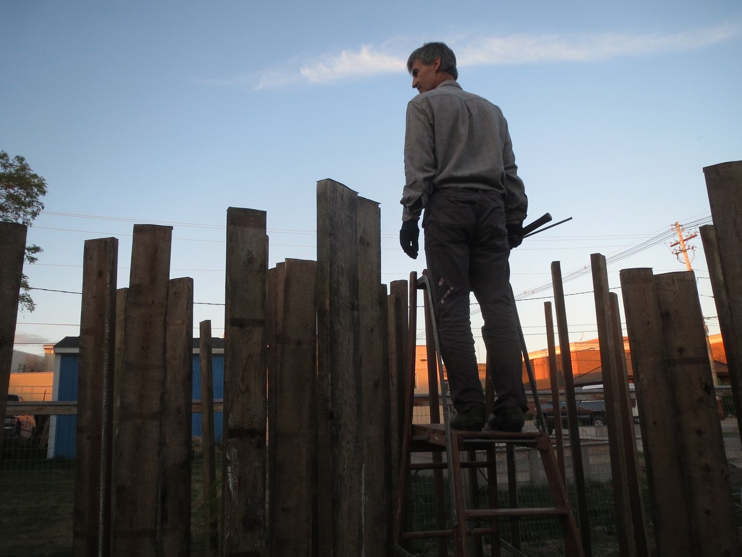


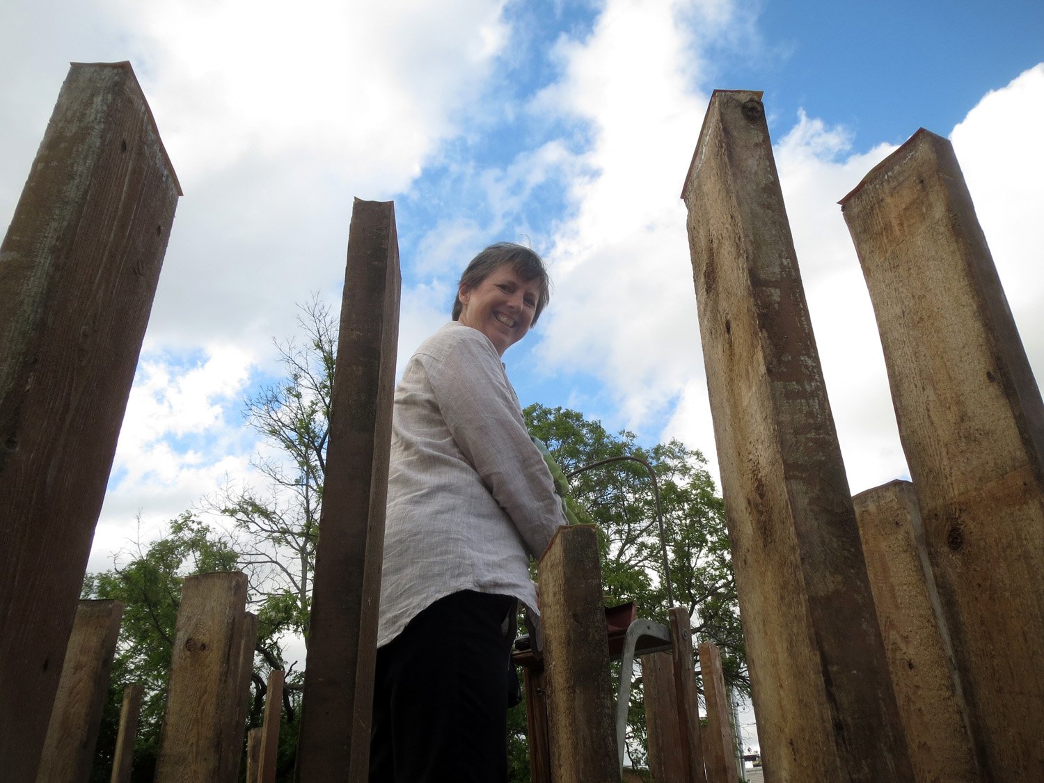

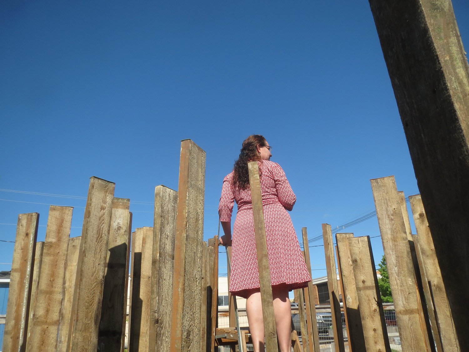
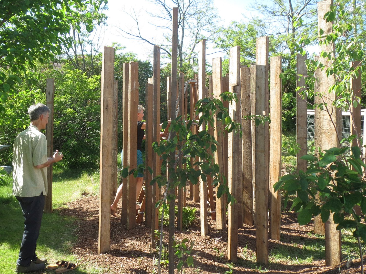
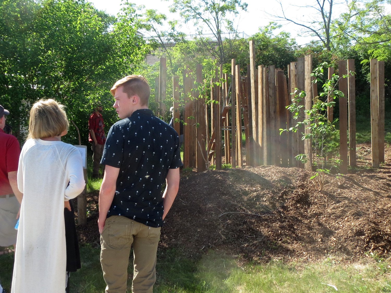
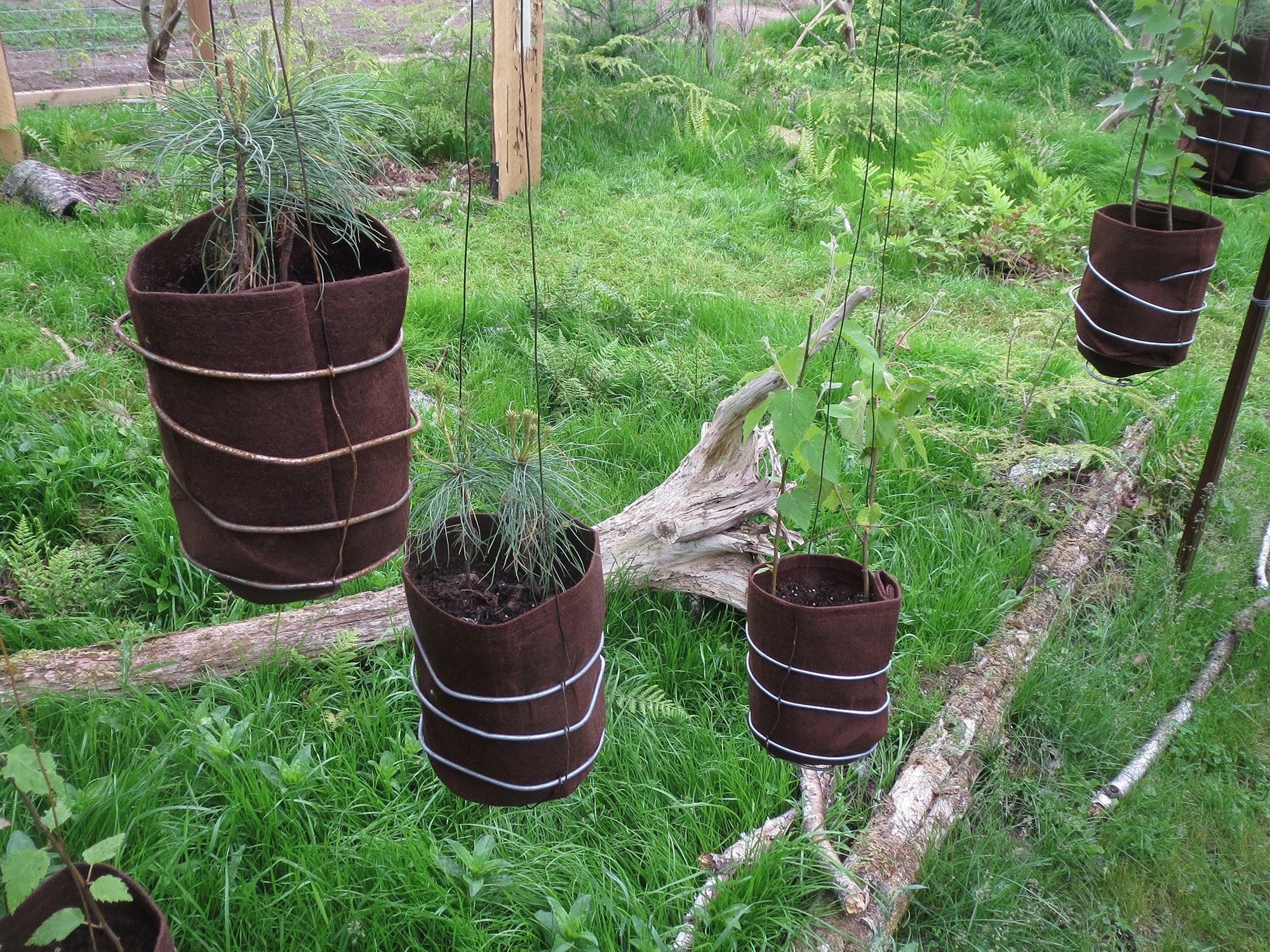
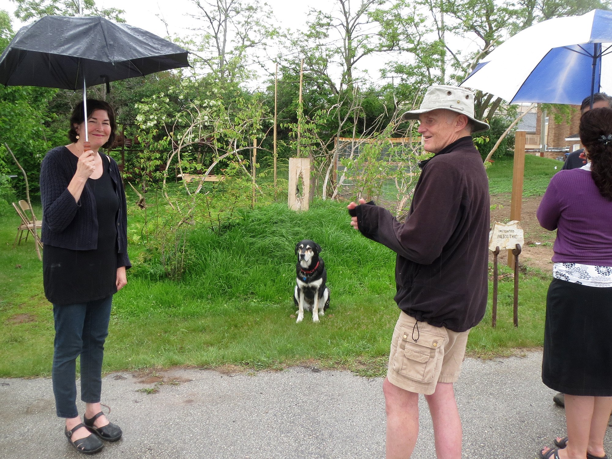
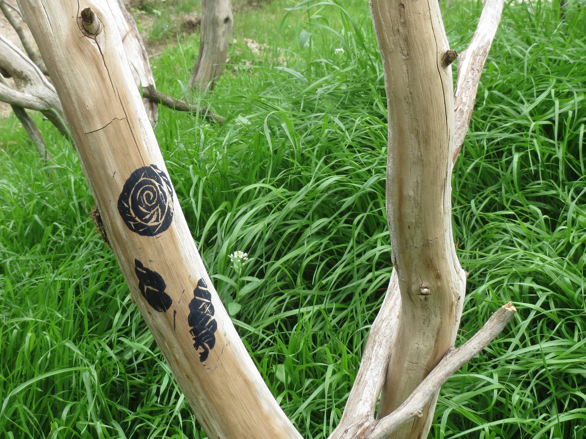
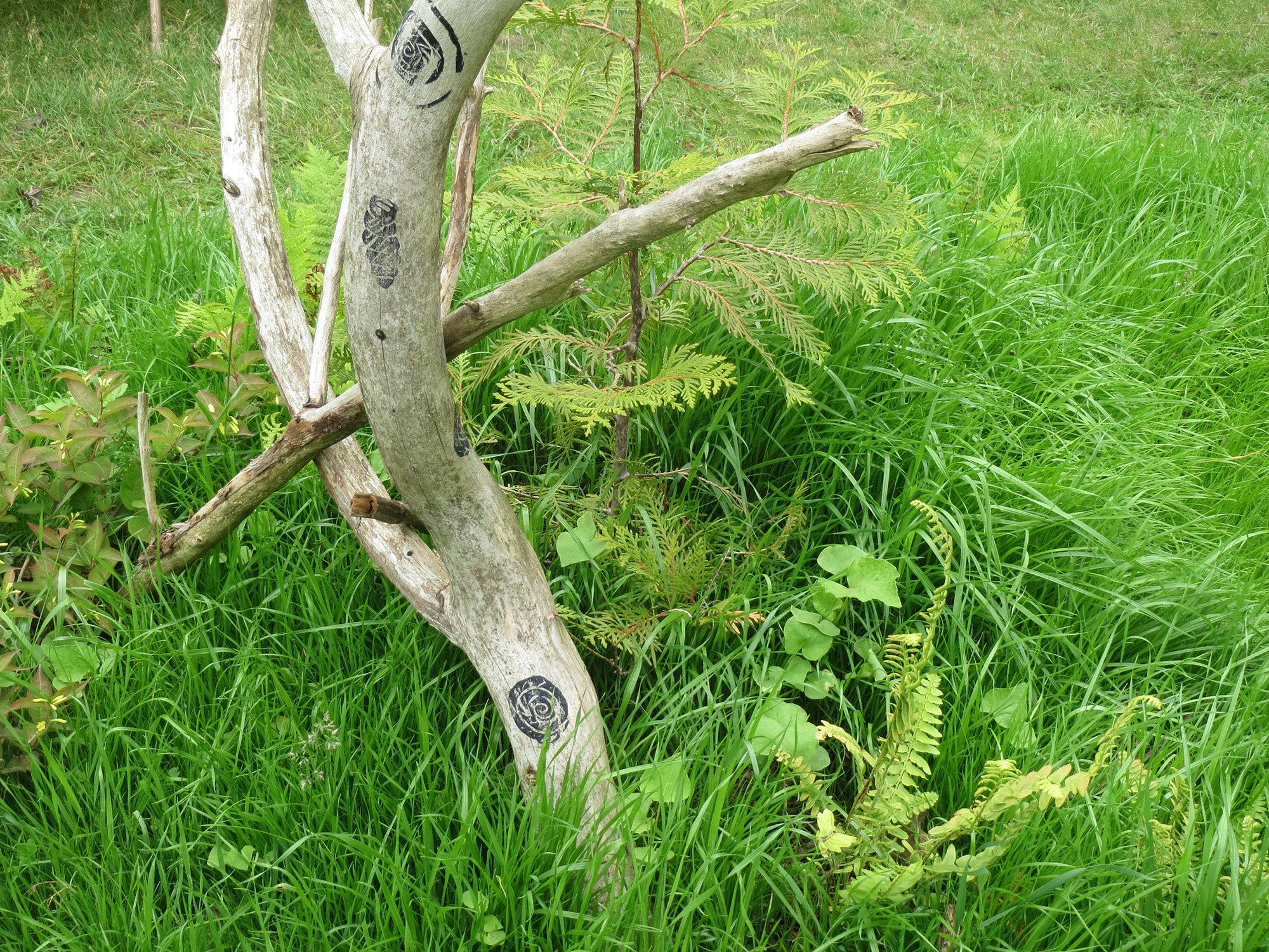
Imprinted Paleolithic for About Sturgeon Bay June 7-13, 2015. "...Each artist has created a piece about Sturgeon Bay, concerning its future, past or present as a link to the vision of how we redefine our city as it transitions to a new paradigm..." (Stephanie Trenchard). Landscape installation of wood, steel, glass and plants, created by Nancy Aten and Dan Collins. "Imprinted Paleolithic reflects both our human constructed and primeval natural environs in Sturgeon Bay - the forested escarpment, the sunny cuesta, and structures and tools used by generations in Sturgeon Bay to imprint the natural world".


Landscapes of Place’s Map Bureau: Conservation Planning
Maps in support of neighborhood conservation planning / 2014 / N. Aten


Communal Rainwater
Water community gardens with neighborhood’s excess rainfall, using existing collection infrastructure. March 2013 / N. Aten (idea brainstormed with G. Mead, B. Yahola, K. Sands, D. Collins, and others; inspired by the Milwaukee Water Commons)
The goal: Keep rainfall runoff in the neighborhood and use it for community food production. An underlying desire for community gardens, for both economy and ecology of water, is the use of buffered (stored) rainwater rather than potable city water. Coupled with this is a challenge of scale: matching communal food production for the neighborhood with communal inputs of rainwater and energy from the neighborhood. A vacant lot in a neighborhood can provide the space to produce the desired scale of food production; but the land does not itself have the ability to collect enough excess rainwater to supply the garden’s needs. The key idea: A system that collects excess rainwater at neighborhood scale already exists, in underground storm sewer pipes (in separated sewer areas). Can we tap into this, the underground storm-sewer sub-watershed for the neighborhood, to water the communal neighborhood food gardens? (for more, contact us).
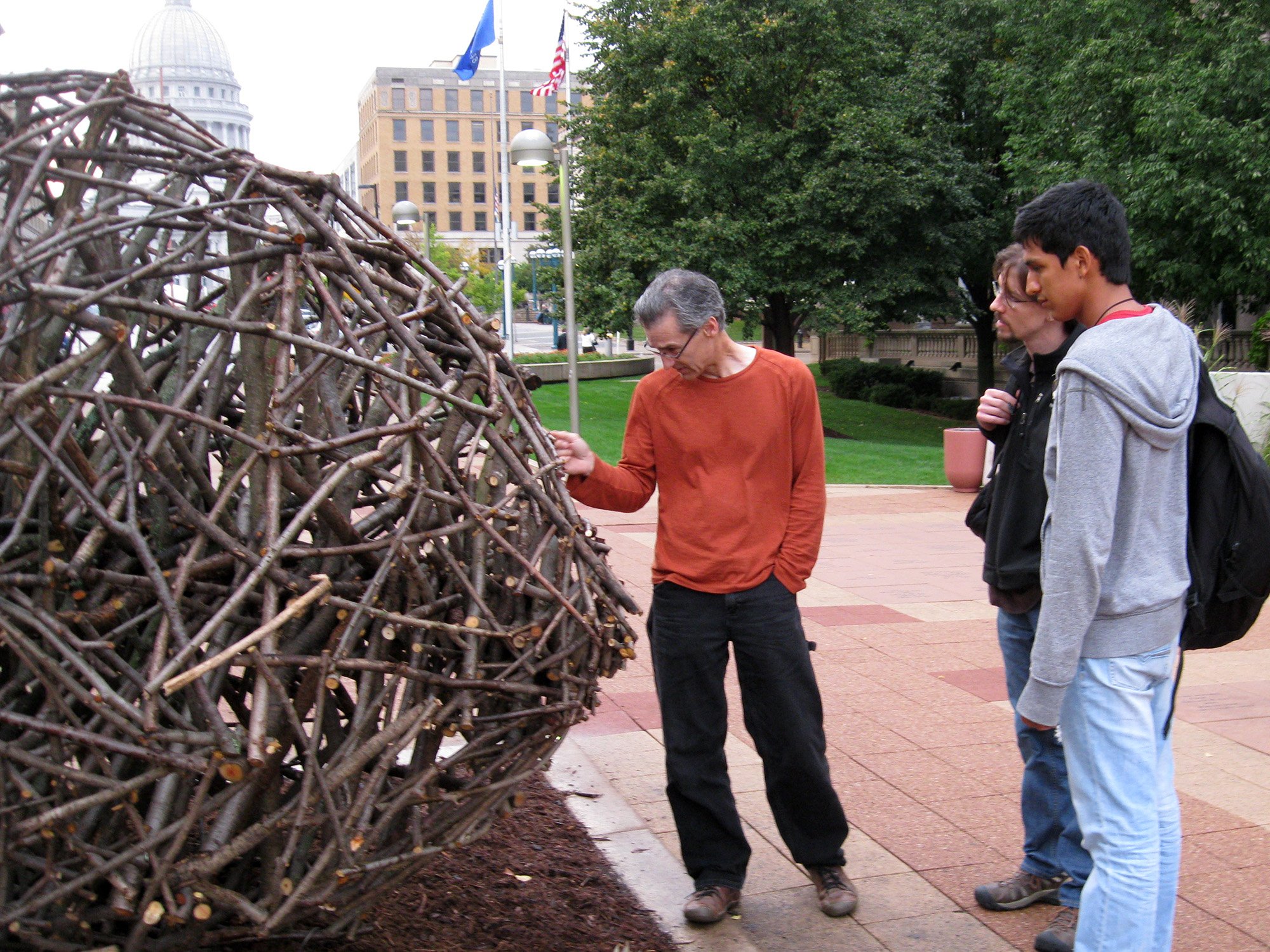
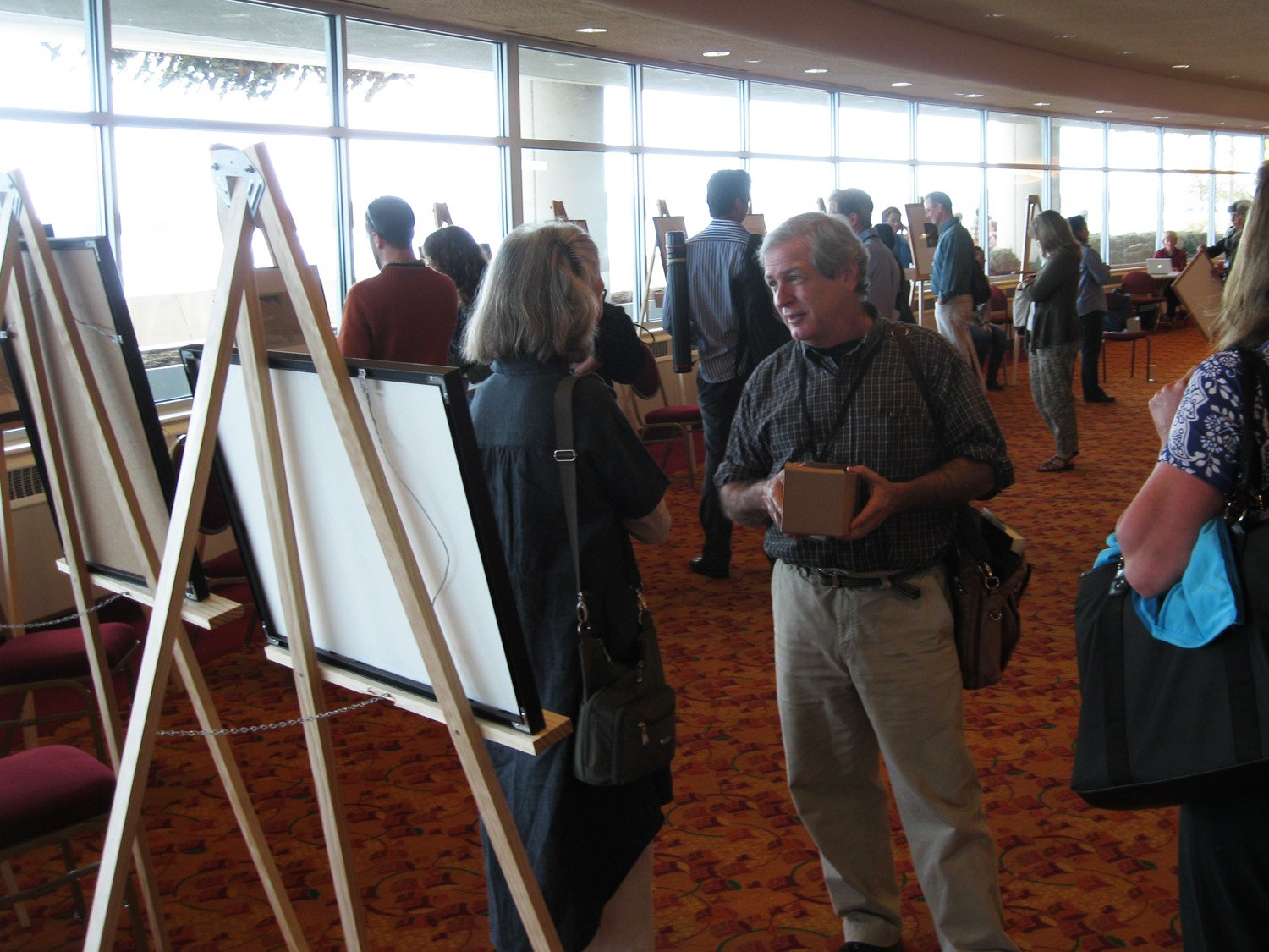
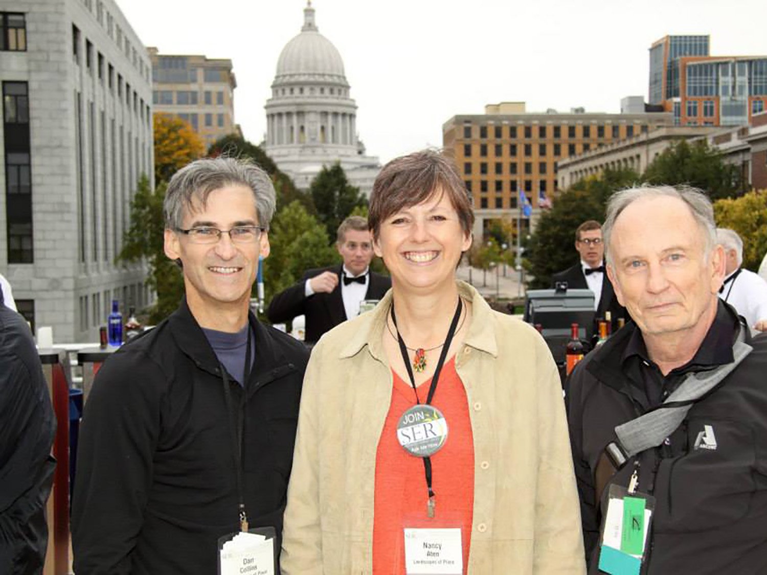
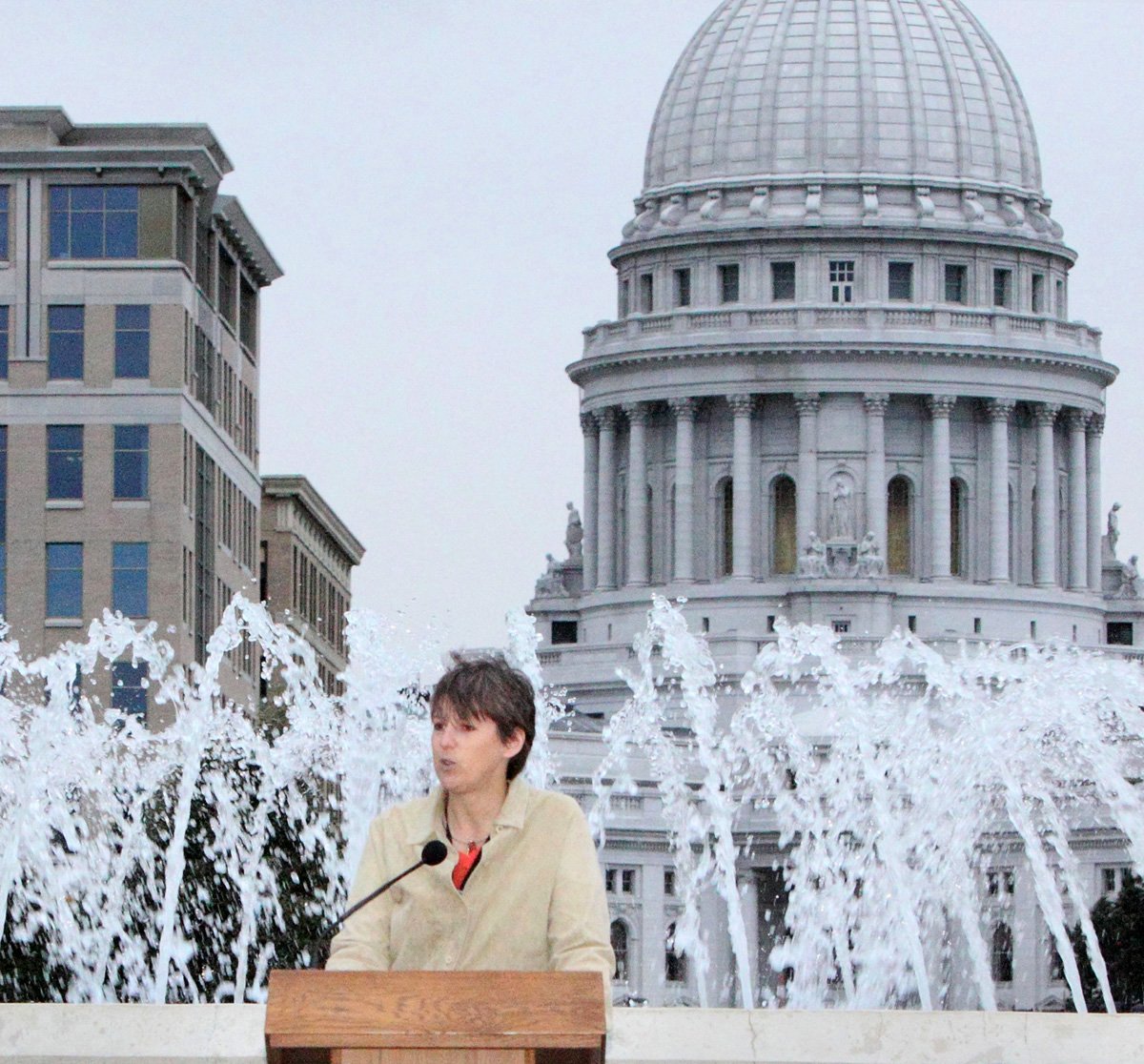
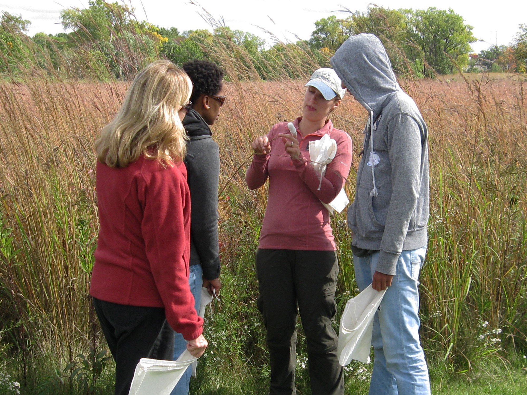
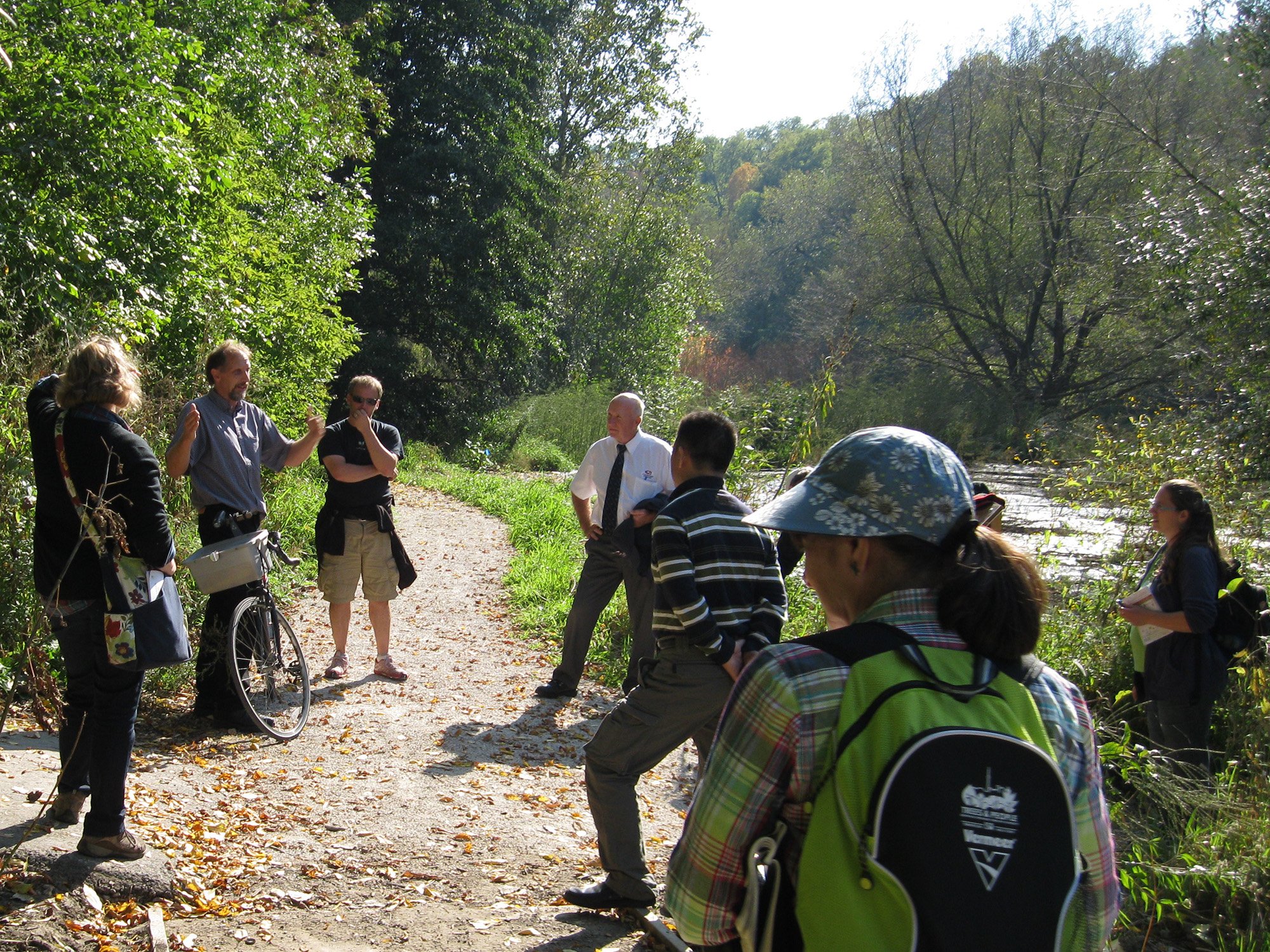
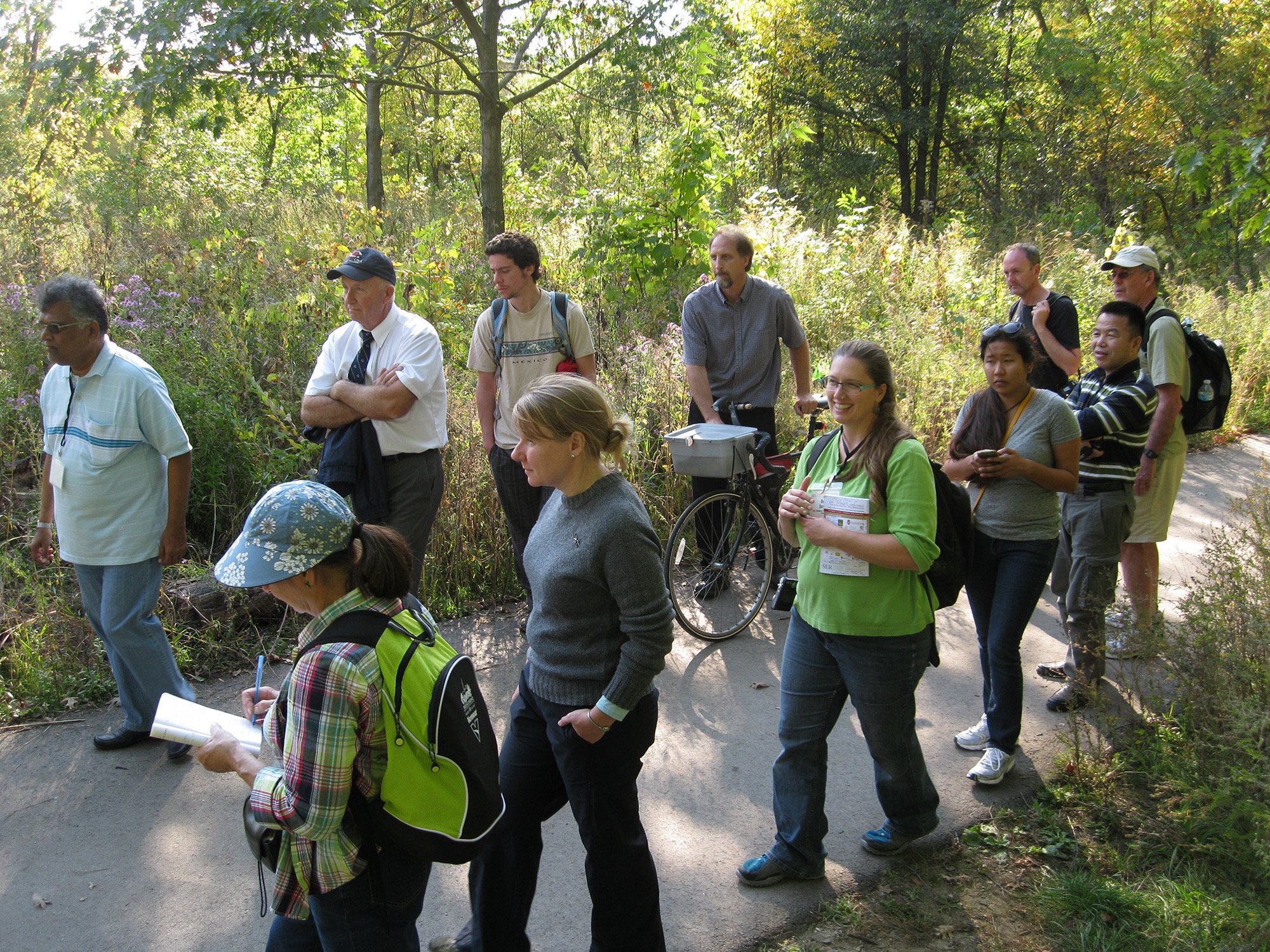
5th World Conference on Ecological Restoration
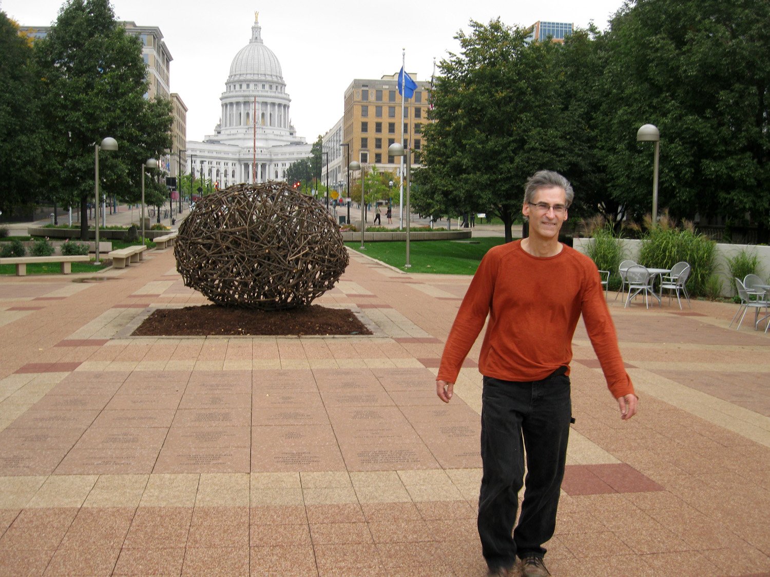
Landscapes of Place sponsored the 5th World Conference on Ecological Restoration (and here), Madison, WI October 2013. We also volunteered with helping organize the conference. Part of our work was leading the Art and Ecology venture.
Ecological Restoration has long engaged the arts and artists in collaborative work meant to explore the nature/culture relationship and the participatory core of restoration work. Two projects were commissioned by us for the conference: Seed Pod (and pdf), by Brenda Leigh Baker, and the SER Print Project, led by Yvette Pino. This summer, Seed Pod happily found its long-term home (and pdf) at Lynden in Milwaukee.


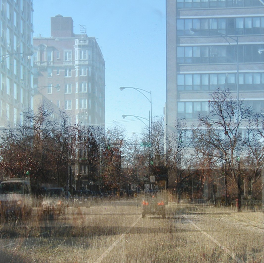
Imagining Natural History
Image series, exploring ways of seeing places and possibilities.

Landscapes of Place’s Map Bureau: Island of Hope
Milwaukee County Grounds Coalition / 2010-2013 / N. Aten
Island of Hope: the latest in a series of informational maps to help visually communicate concerns and plans related to the Habitat Preservation Area within the County Grounds.
New book, The Milwaukee County Grounds: Island of Hope by Eddee Daniel with foreword by Nancy Aten.
Foreword to The Milwaukee County Grounds: Island of Hope
Video based on the book (6 minutes, youtube)
Landscapes of Place’s Map Bureau: Washington Park
Map for Urban Ecology Center Washington Park / 2010 / N. Aten
As a volunteer, and at the request of the UEC Washington Park director, developed maps using County data for the UEC's use in planning and communication. I also made a topo map for use with schoolkids and orienteering.


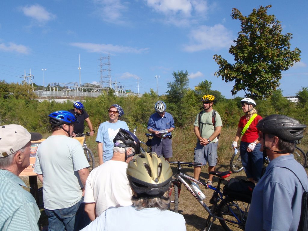
Support the Urban Ecology Center’s University Student Design Competition
Support the Urban Ecology Center's university student competition for design of the new Menomonee Valley facility, by preparing background materials, basemaps, images, engaging in discussions and reviews, and assistance preparing project book.
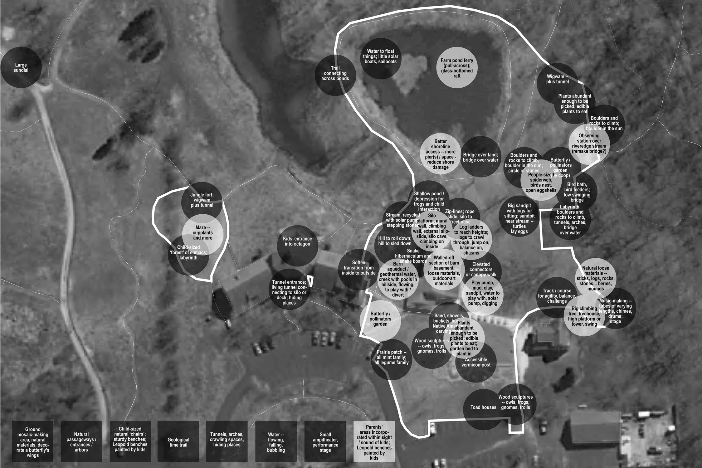
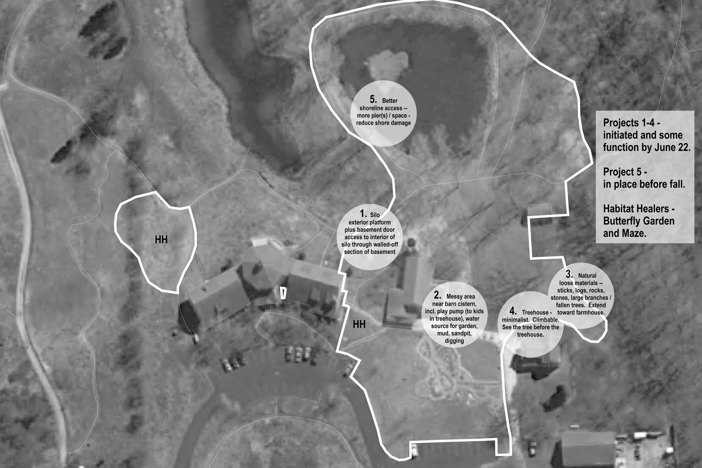
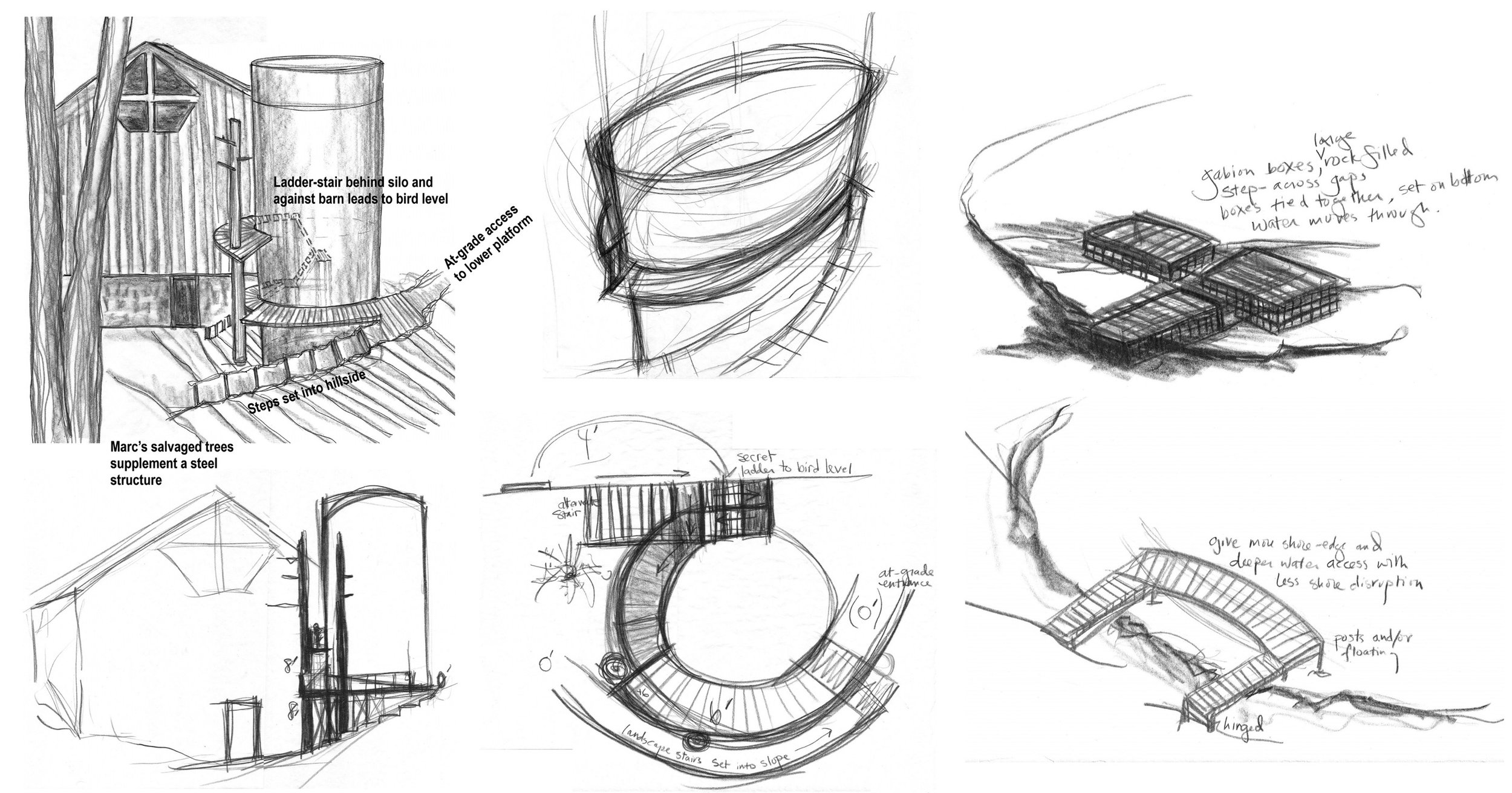
Riveredge Nature Center Charrette
Led Riveredge Nature Center environmental education staff in a charrette to consider natural playground opportunities and priorities (Nancy at left). Produced idea sketches and results of spatial and priority sorting exercises.

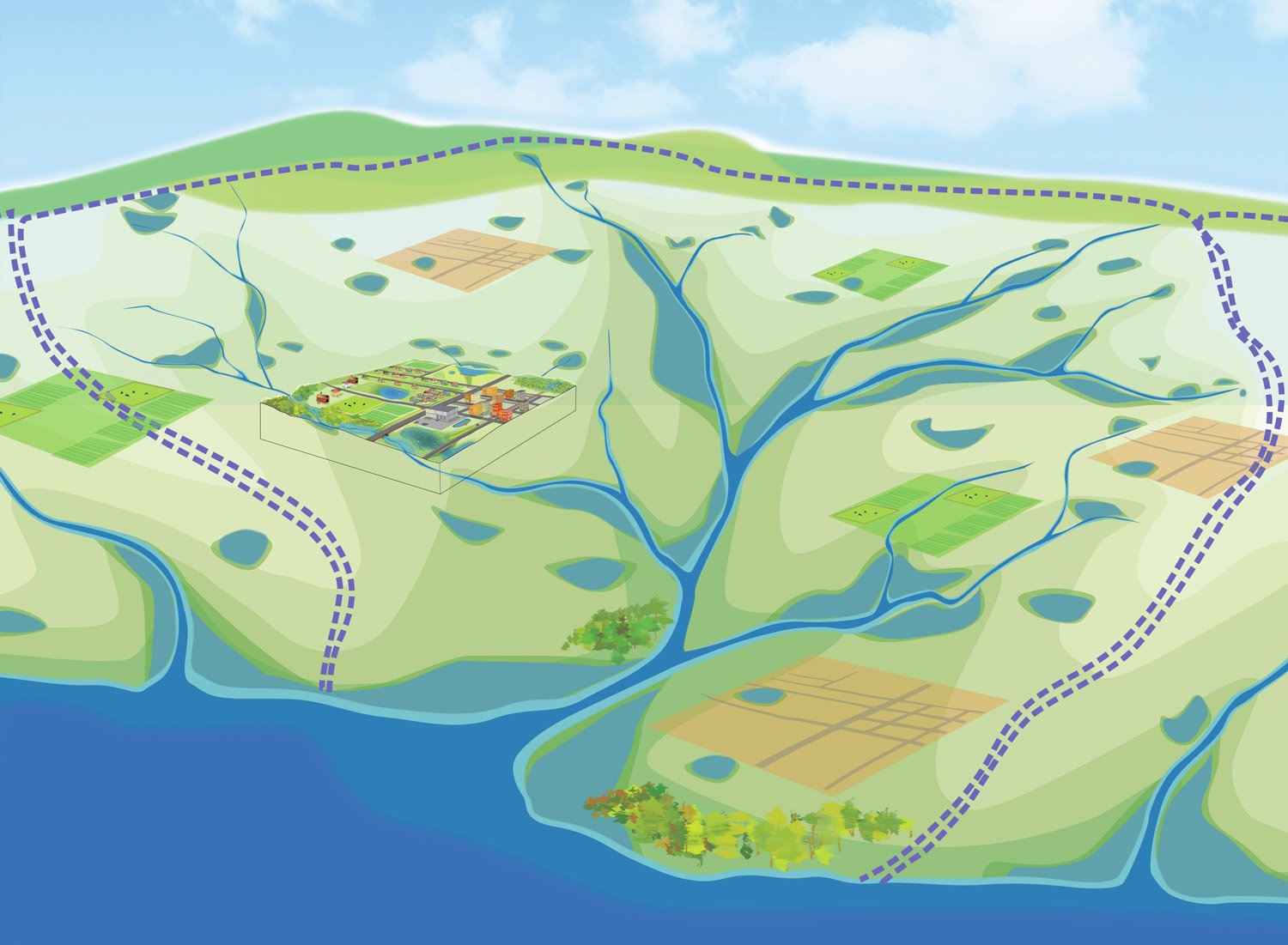
Landscapes of Place’s Map Bureau: Small Magic
The Missing ‘Small Magic’ of Water / 2013 / N. Aten
One loss we have in urban neighborhoods is the ‘small magic’ of water – we no longer see little streams; they run underground in pipes; we no longer see little wetlands and ephemeral wetlands; they are filled. When our only visible water is the big rivers and the Great Lake, we have lessened our opportunities for intimate connections to water, and the sense of stewardship such intimate relationships often engender.
Left, showing present WDNR-mapped surface waters in yellow — notice the absence in Milwaukee — and overlaying the historic vegetation of Milwaukee. The historic vegetation is extrapolated from the 1835 GLO surveys; reds and blues were large swamps. The Milwaukee County boundary is shown; and the boundary of the inset view to the right.
Right, zoomed in to Milwaukee, showing the 1835 GLO land survey maps, with then-mapped large wetlands (those visible walking the square-mile sections).
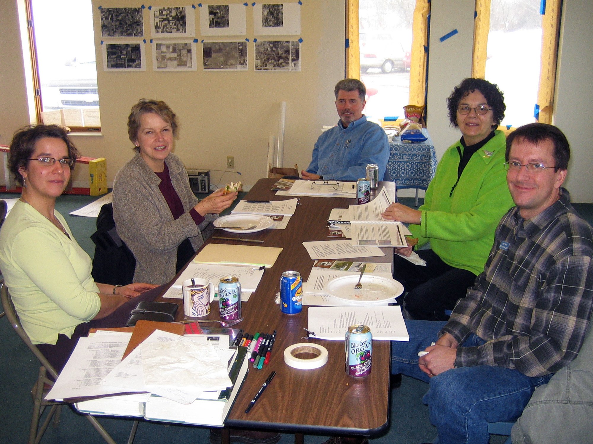
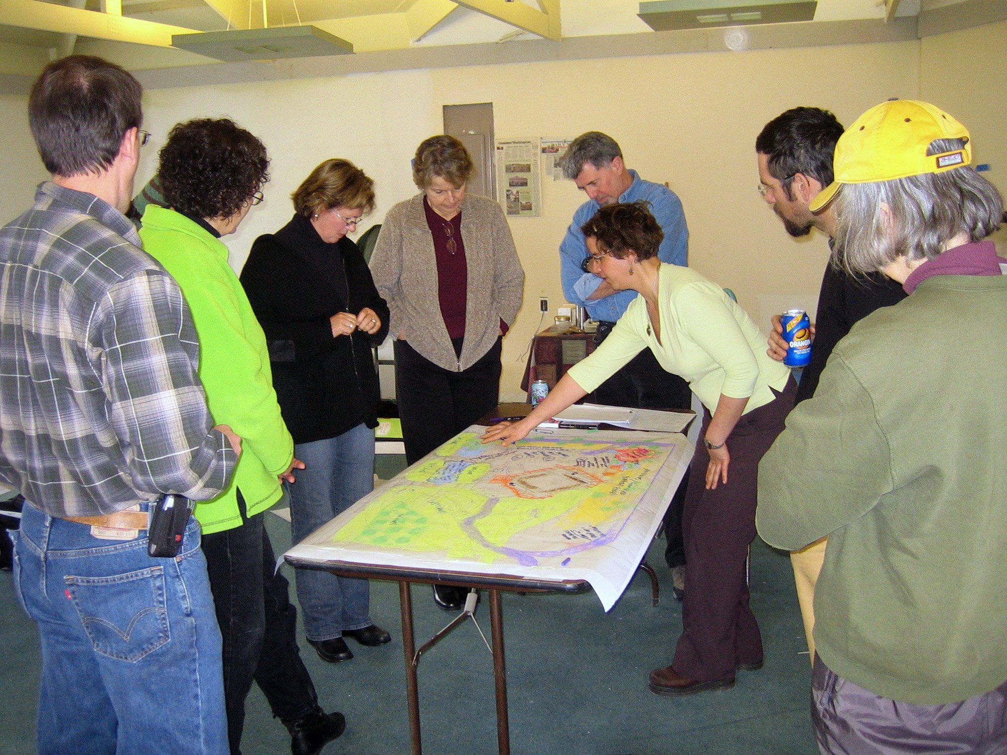
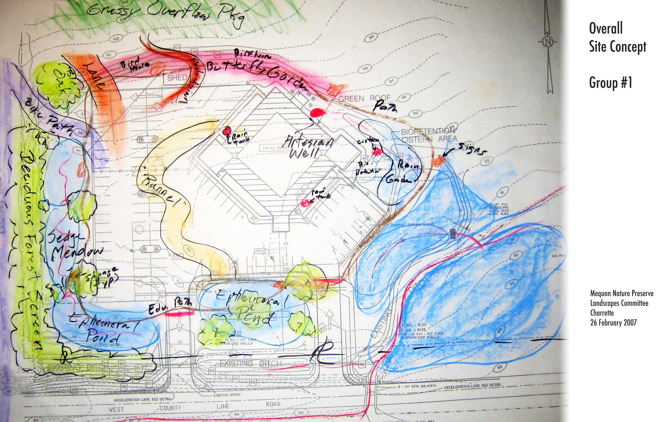
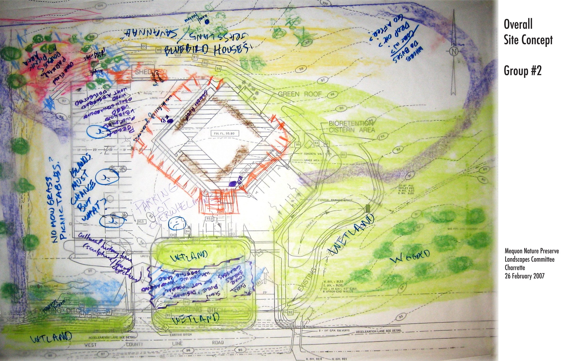
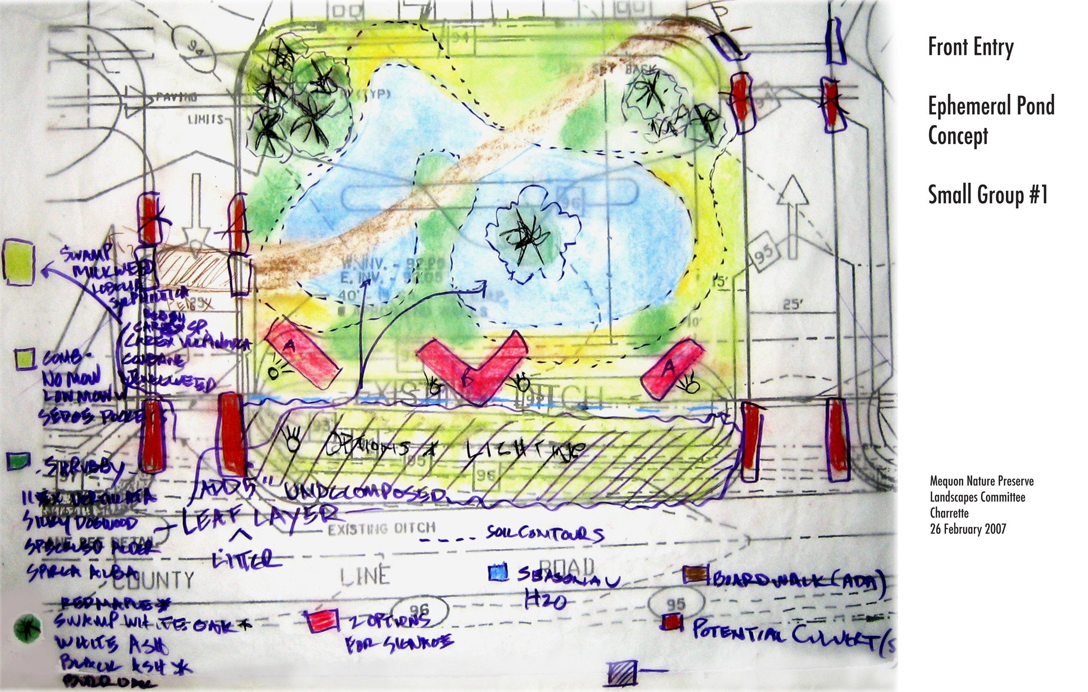
Mequon Nature Preserve Charrette
Led Mequon Nature Center staff and volunteers in design charrettes for landscapes around nature center (below).
First charrette: trail connections, educational opportunities, improving wetland connections, problematic parking lot (one group's sketch shown). Second charrette: plant community concepts and human experience (one group's sketches shown).


Nancy Aten, Landscape Architecture at the University of Georgia
City Neighborhood and Oak Savanna. 2003 Master of Landscape Architecture thesis. (Alternate link here.)

How I Started a Sustainability Conference, Sustainable Design+Education. Invited Editorial, Landscape Architecture magazine, April 2007
